Territorial analysis with RTK precision, EASA certifications and local processing for vineyards, institutions and public administrations.
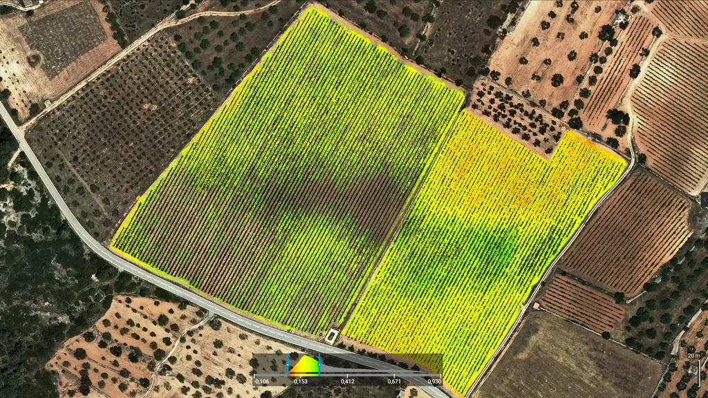
At Beesual Drone, we combine satellite imagery, high-precision drone flights, and artificial intelligence to provide you with clear, actionable information about crops and ecosystems. We process the data using scientific methodology and turn it into maps, models, and reports ready to use in QGIS, AutoCAD, or BIM. Our goal is to help you optimize irrigation, detect water stress, monitor biodiversity, or plan land use with real data – not guesswork.
Challenges we address
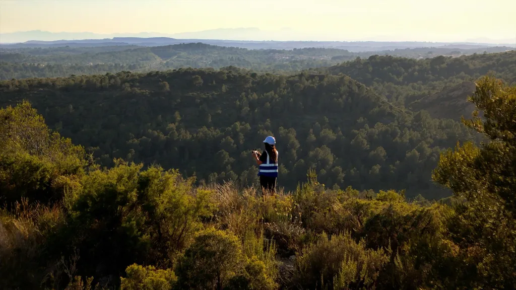
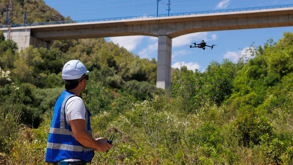
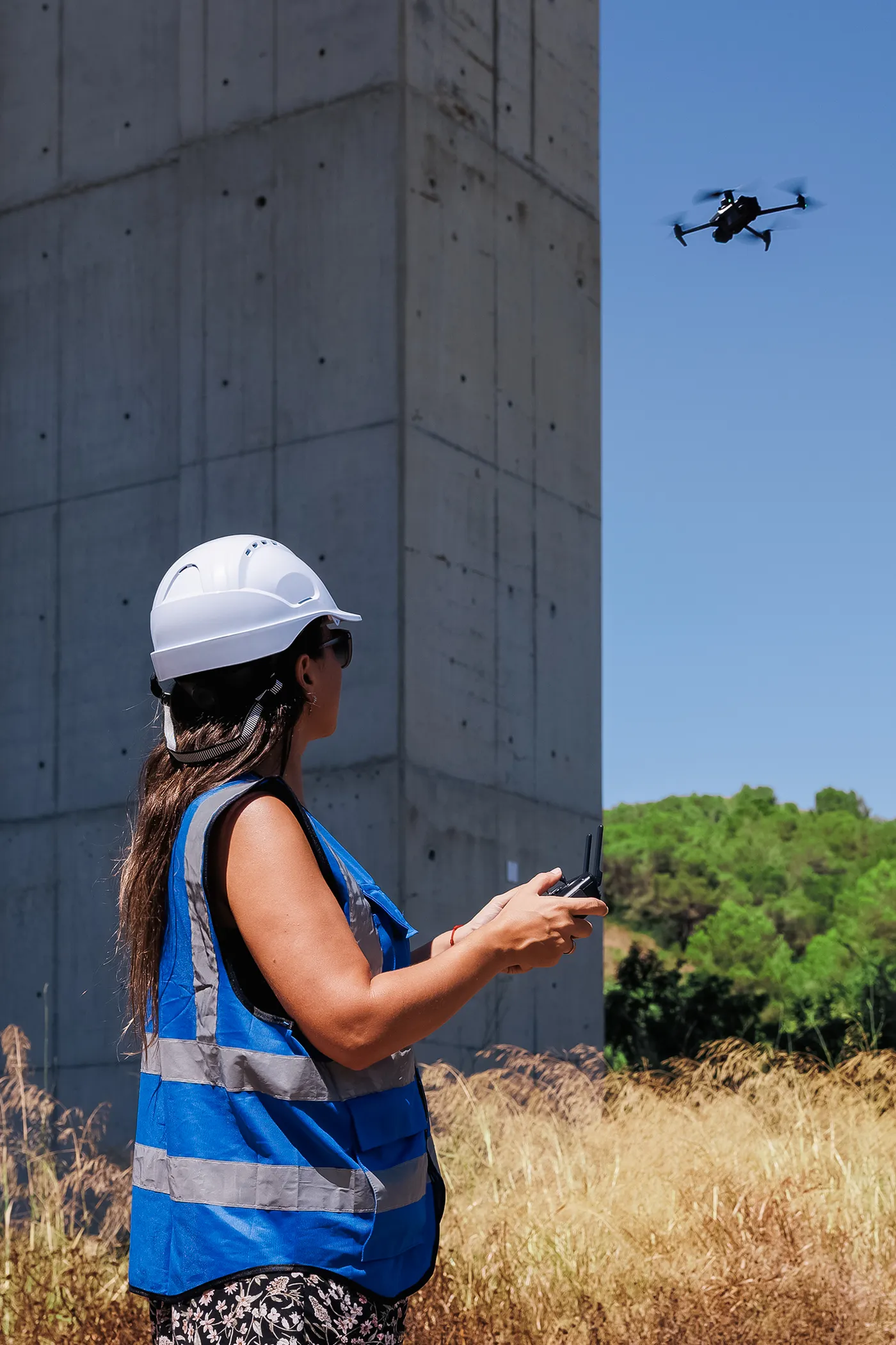
We monitor crops and ecosystems with scheduled drone flights, satellite analysis and AI

How we work
We combine satellite imagery, precision flights and AI in a single workflow
Note: We deliver maps, reports and models in GIS, CAD and BIM formats. If you need it, we can build you a web dashboard to track your indicators without installing anything. Discover all our services.
Who trust us
We work with winegrowers, engineering firms, scientists and public managers who need reliable data to make decisions about their crops and ecosystems
Vision and differentiation
What sets us apart as a territorial intelligence provider: European certifications, local processing and an end-to-end technical approach, in both agriculture and the environment
Do you have a crop to monitor or an ecosystem to protect? We’ll get back to you within 24 hours with a flight plan tailored to your plot and your technical questions.
Plan your next territorial analysis
Tell us what you need to know about your soil, crop or ecosystem. We reply in less than 24 hours with a technical proposal tailored to your needs.
Technical resources and updates
Receive real case analyses, precision agriculture developments and environmental management news straight to your inbox.