
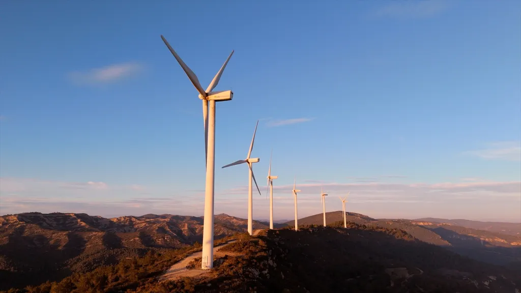
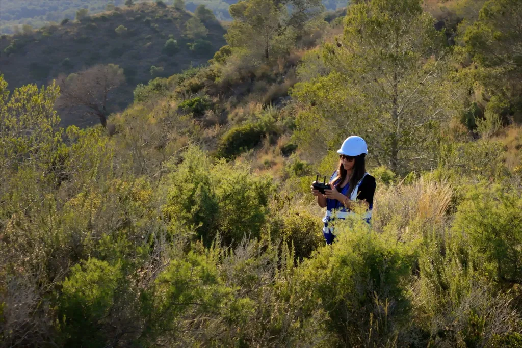
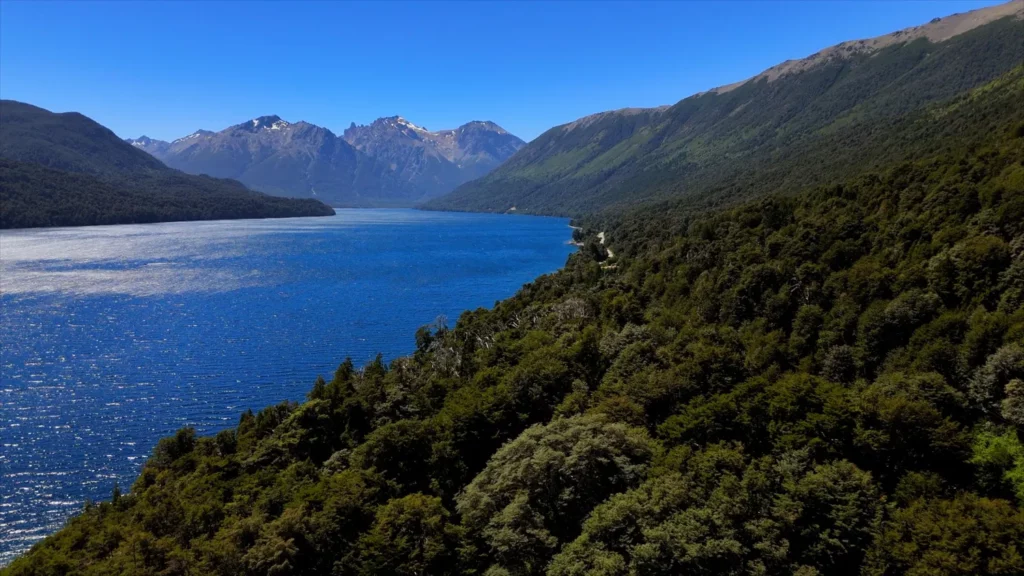
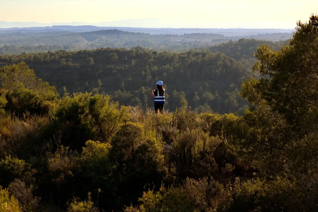
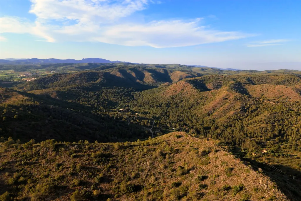
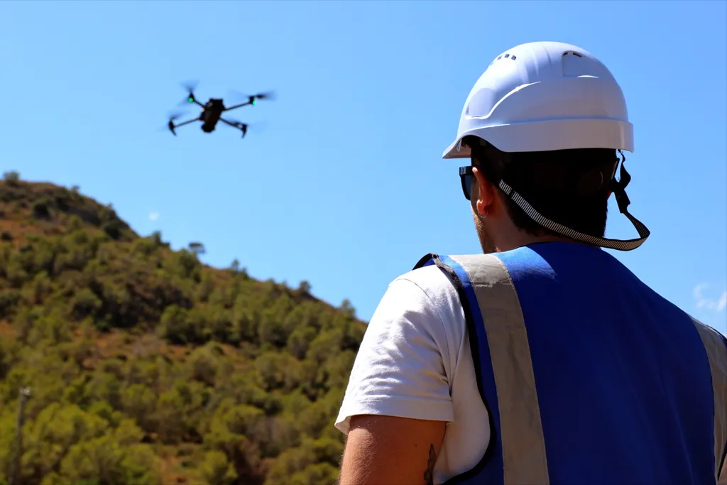
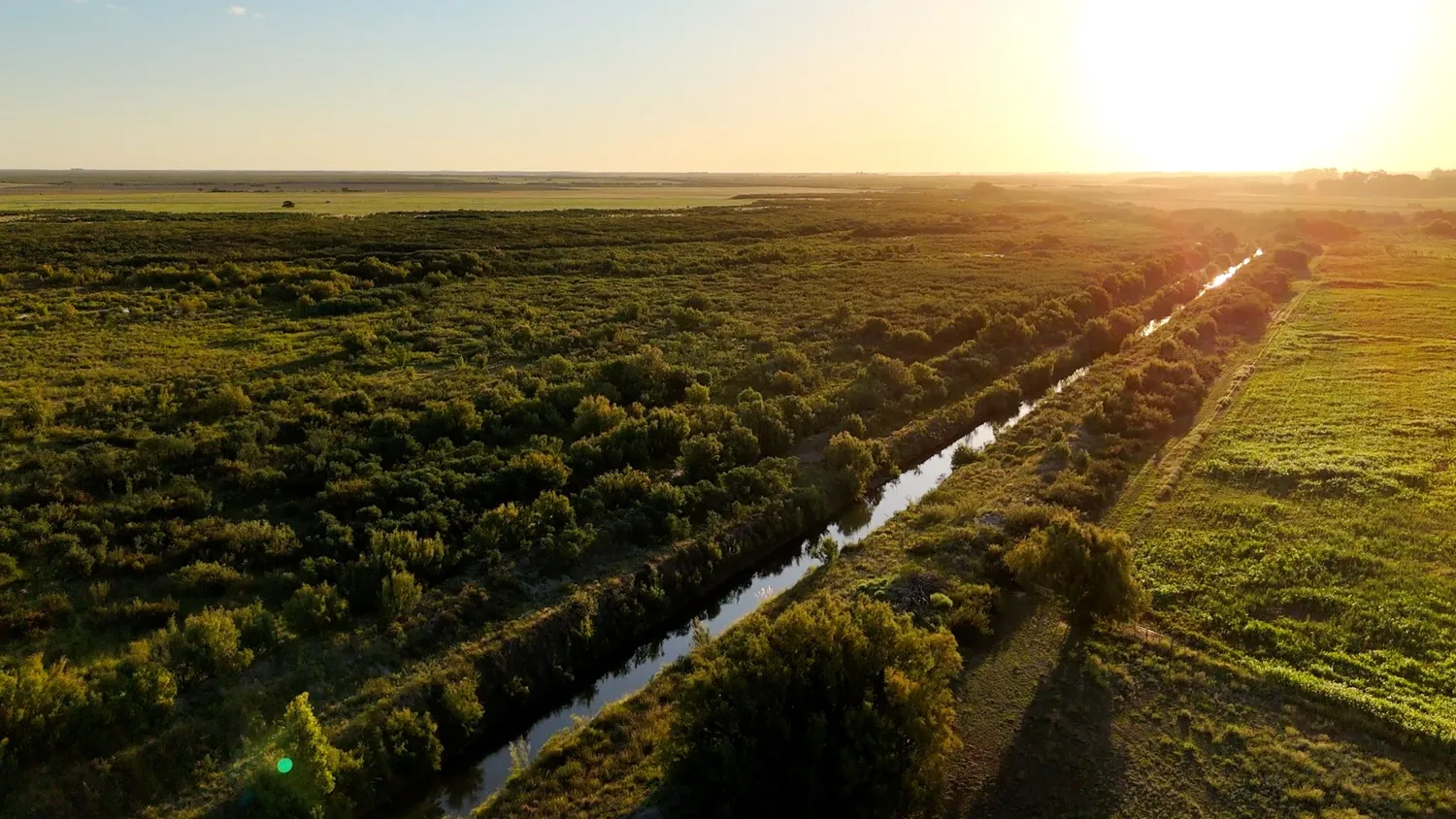
At Beesual Drone we carry out environmental monitoring with high‑precision drones for the objective assessment of ecosystems, protected areas and restoration projects. Our protocols combine multispectral sensors, calibrated thermography and local geospatial processing to turn aerial imagery into verifiable time series. This methodology enables technicians and public managers to quantify changes in vegetation cover, detect hydrological alterations and validate conservation plans with rigorous data, without relying on subjective interpretations.
Target Audience
Municipalities, environmental agencies, conservation NGOs and technical consultancies that require rigorous geospatial data for the management of protected areas and restoration plans.
Specific Applications:
- Multi‑temporal vegetation analysis: Seasonal monitoring of phytosanitary status and land‑use changes using spectral indices (NDVI, NDWI) fused with satellite data.
- Thermography applied to the environment: Early detection of hotspots, water stress analysis in wetlands and assessment of thermal impacts on sensitive ecosystems.
- Forest and biodiversity inventories: Generation of digital surface models (DSM) and canopy height models (CHM) to quantify biomass and forest structure without physical intervention.
- Ready‑to‑use GIS deliverables: Georeferenced orthomosaics, thematic maps and vector layers directly exportable to QGIS for technical decision‑making.
Value We Provide
We turn large territorial extensions into quantifiable data. We offer an objective and verifiable view of the ecosystem’s condition, eliminating visual uncertainty and providing the technical basis required for official reports, management plans and access to environmental subsidies. Every environmental monitoring with drones campaign is designed according to the technical specifications of the project, guaranteeing repeatability and full traceability of the delivered data.
Do you need to assess the condition of a protected area or plan a restoration?
Request information about our environmental flight protocols and GIS data delivery.