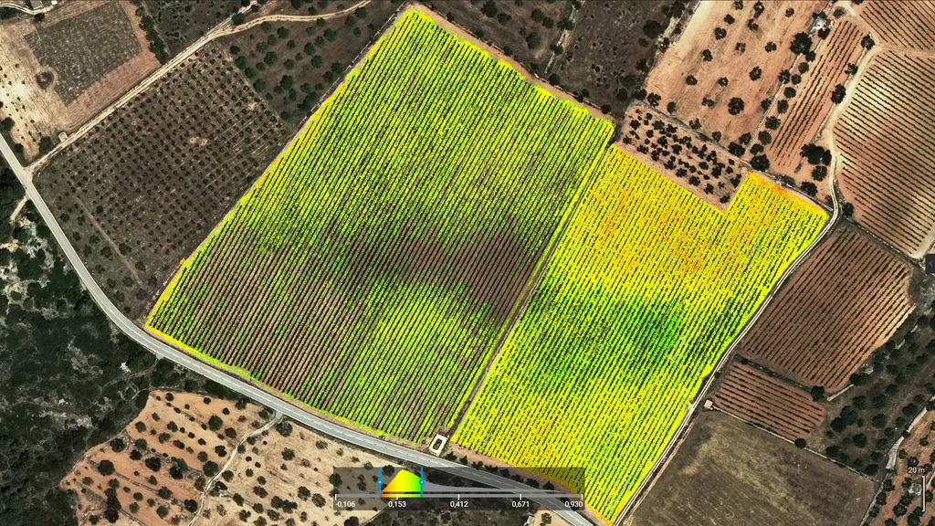
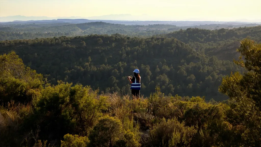
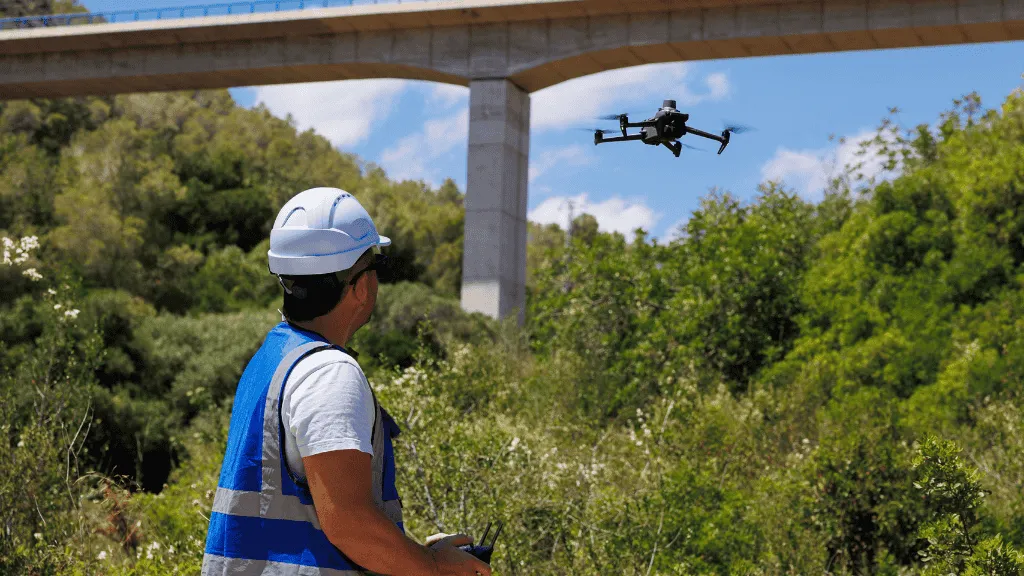
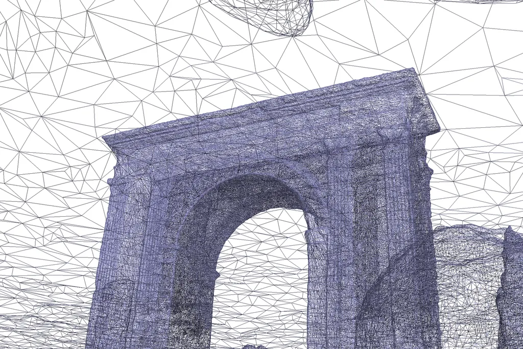
We work with professionals, technicians, and organizations that require precise data to plan, assess, or intervene in the territory. We use RTK drones, multispectral and thermal sensors, and GIS software to generate clear, visual, and directly applicable information.
Drone services for agriculture, environment, and specialized technical applications.

Contact us if your project requires precision, technical insight, and deliverables that add real value.
Plan your next territorial analysis
Tell us what you need to know about your soil, crop or ecosystem. We reply in less than 24 hours with a technical proposal tailored to your needs.
Technical resources and updates
Receive real case analyses, precision agriculture developments and environmental management news straight to your inbox.