


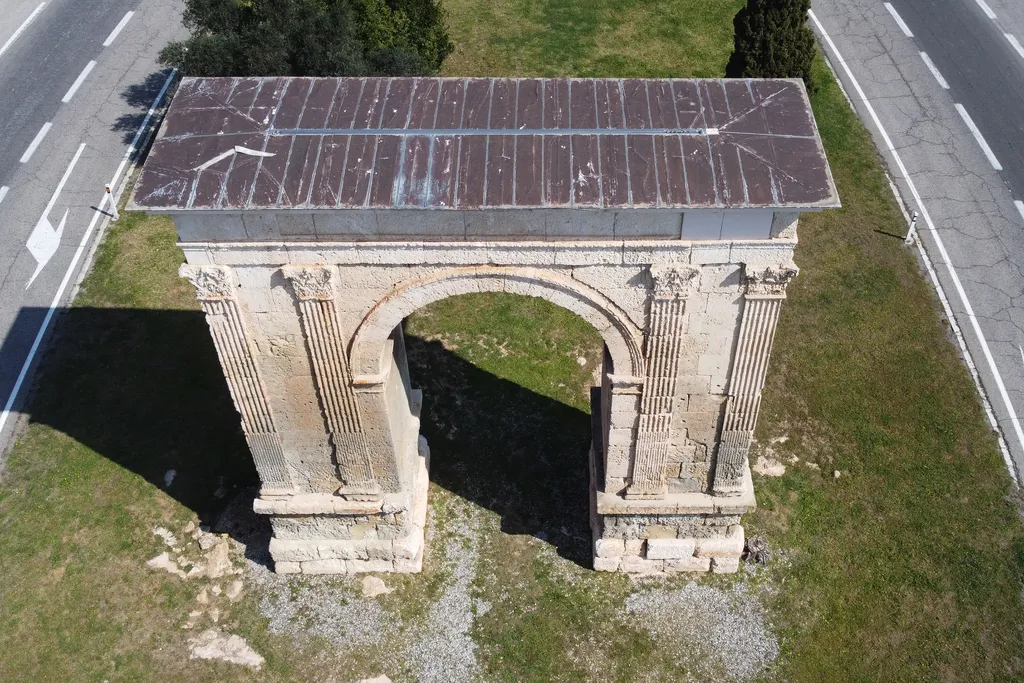
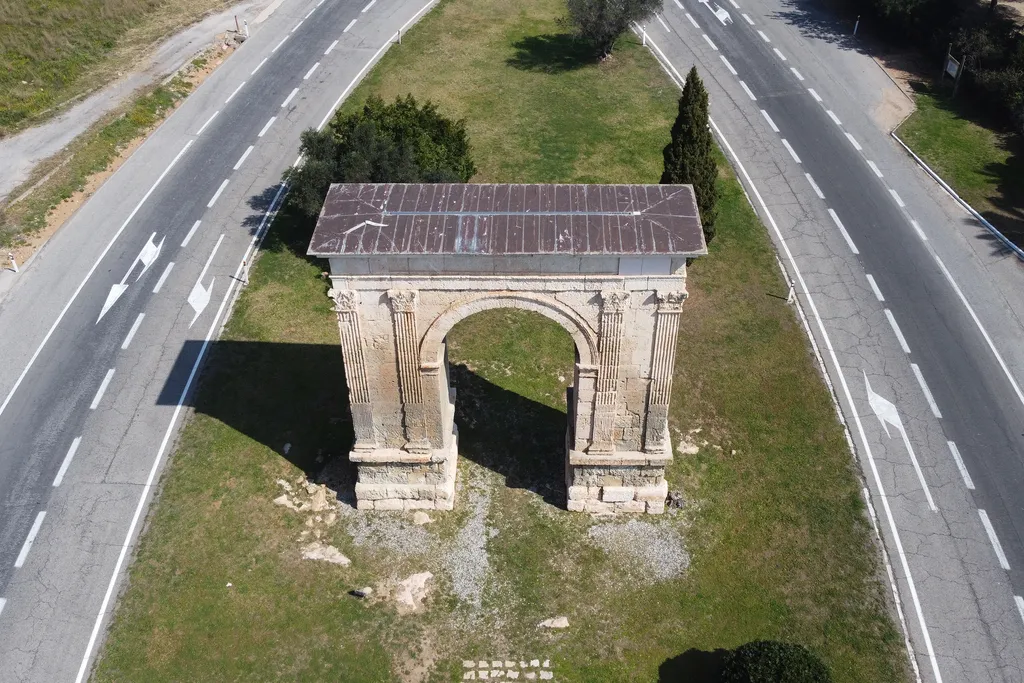
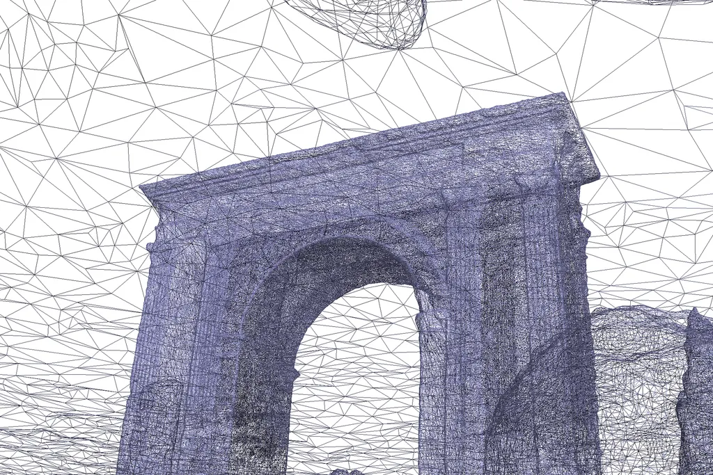
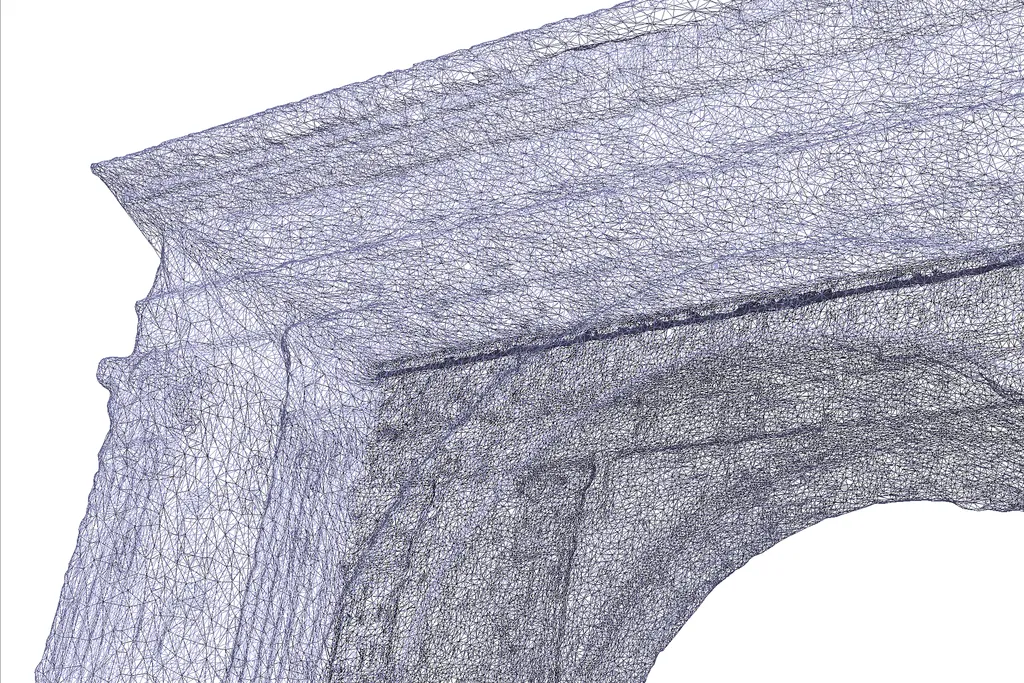
Target Audience
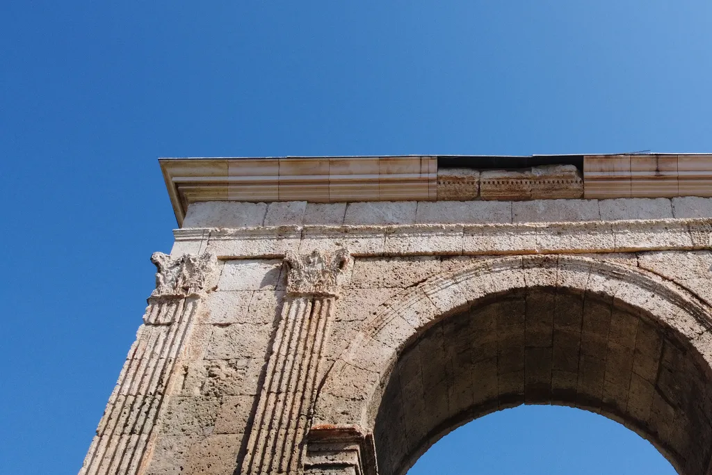
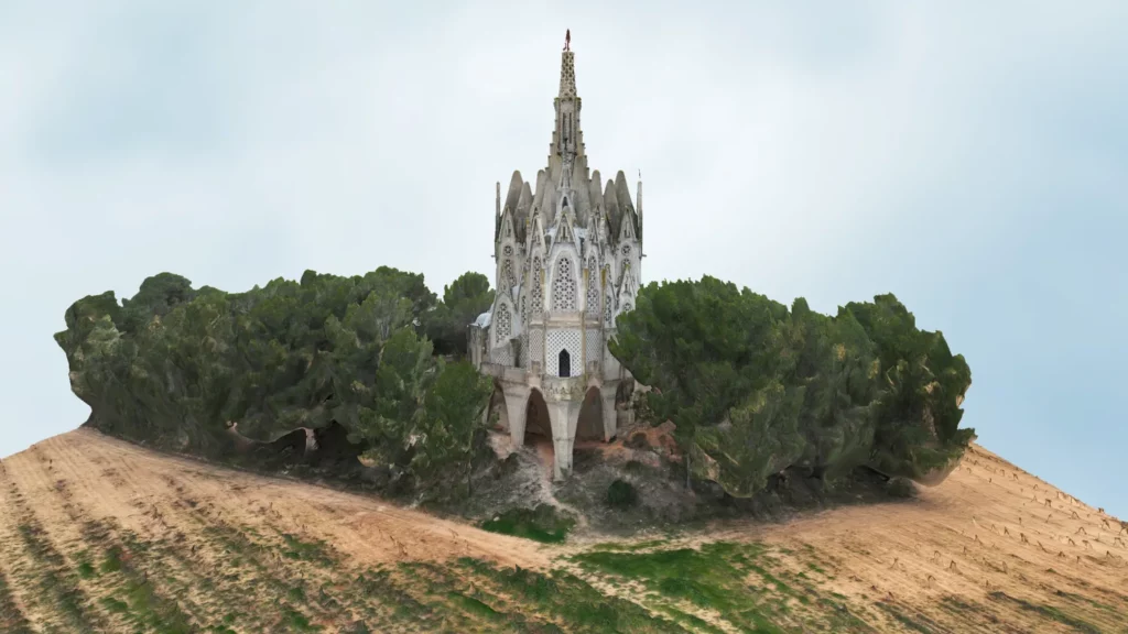
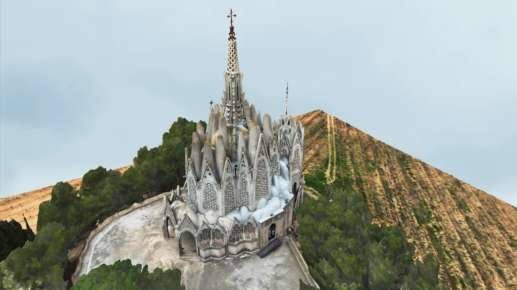
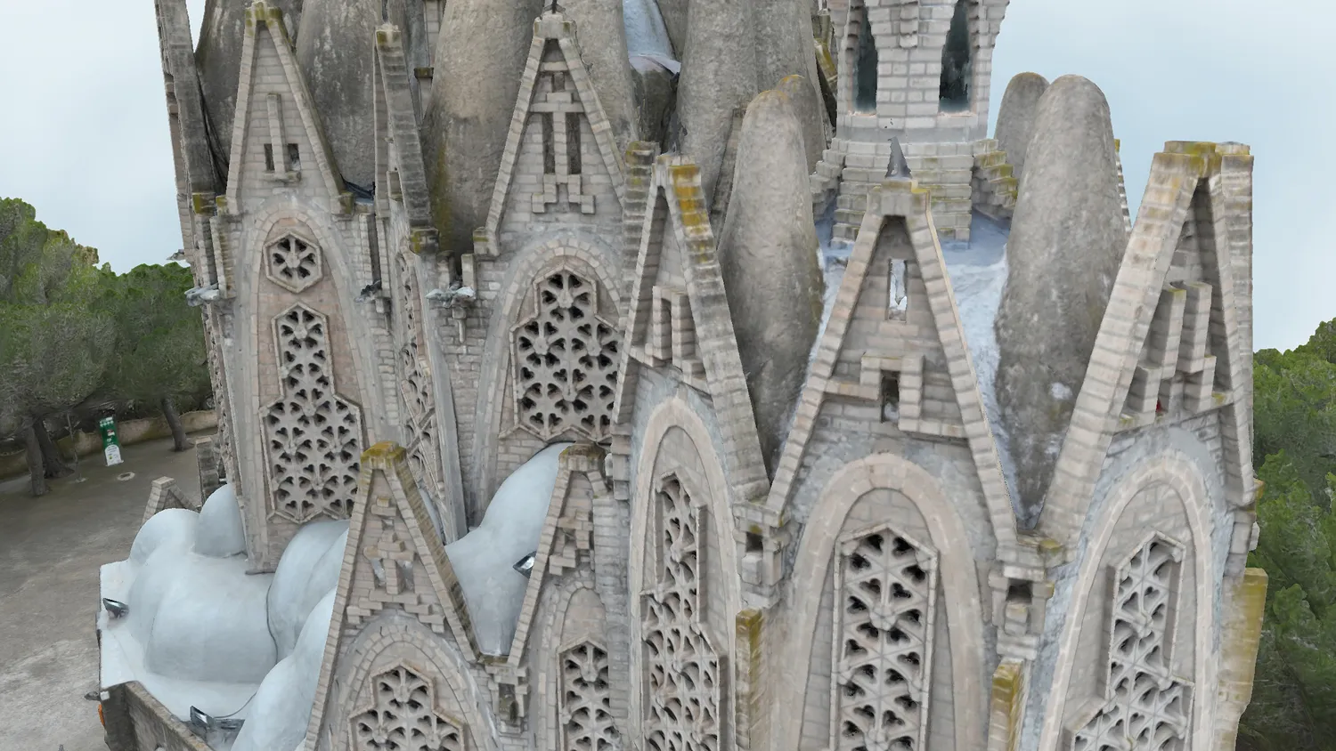
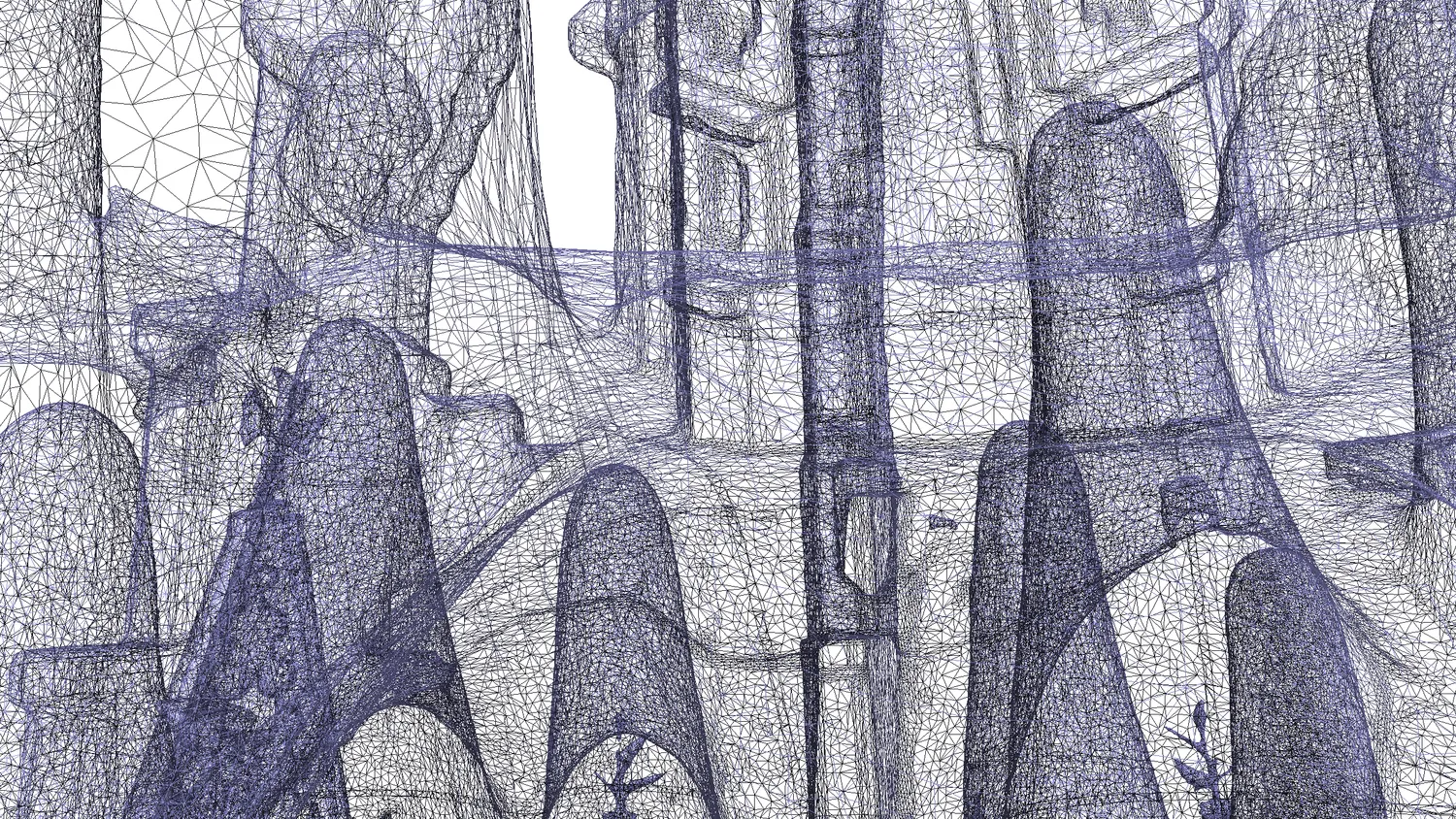
Architecture firms, restorers, heritage technicians.
Specific Applications:
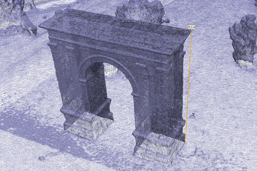
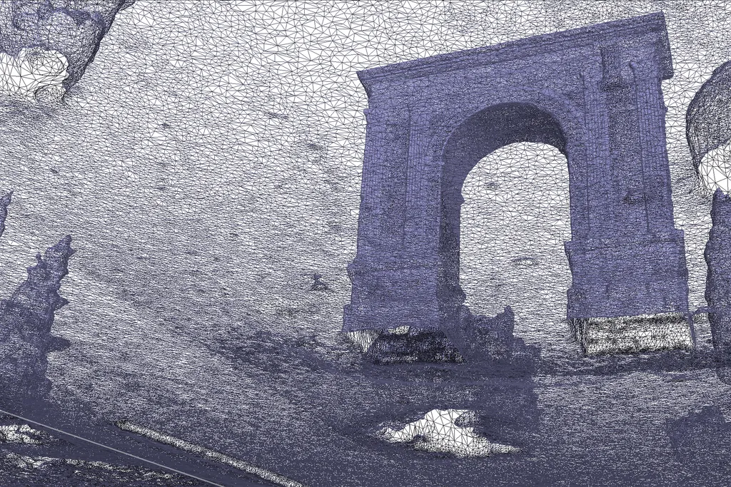
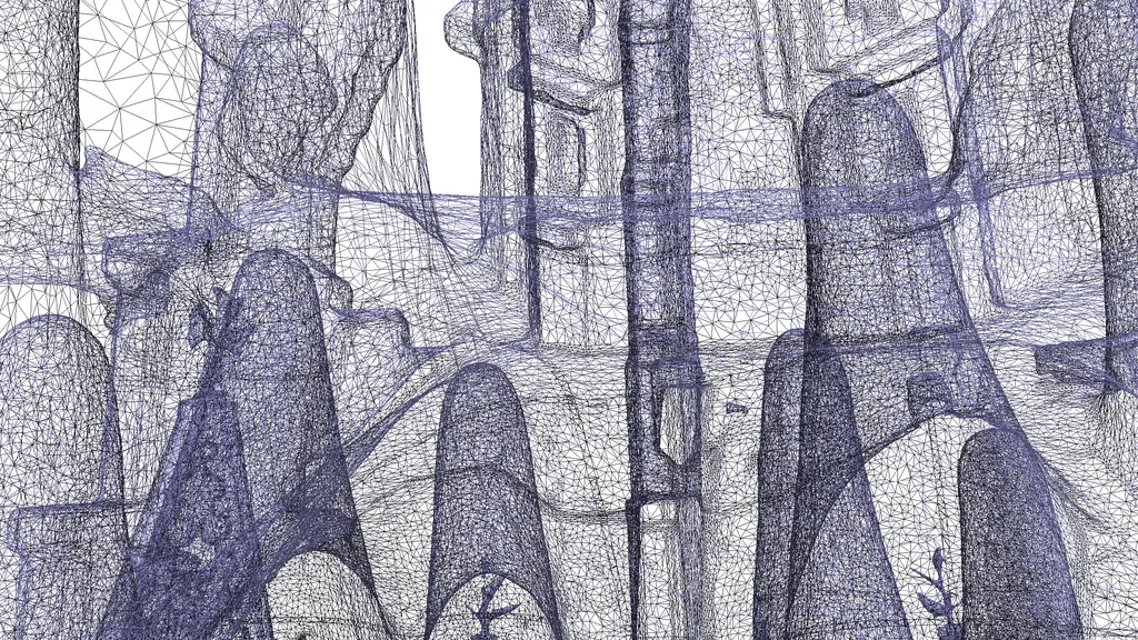
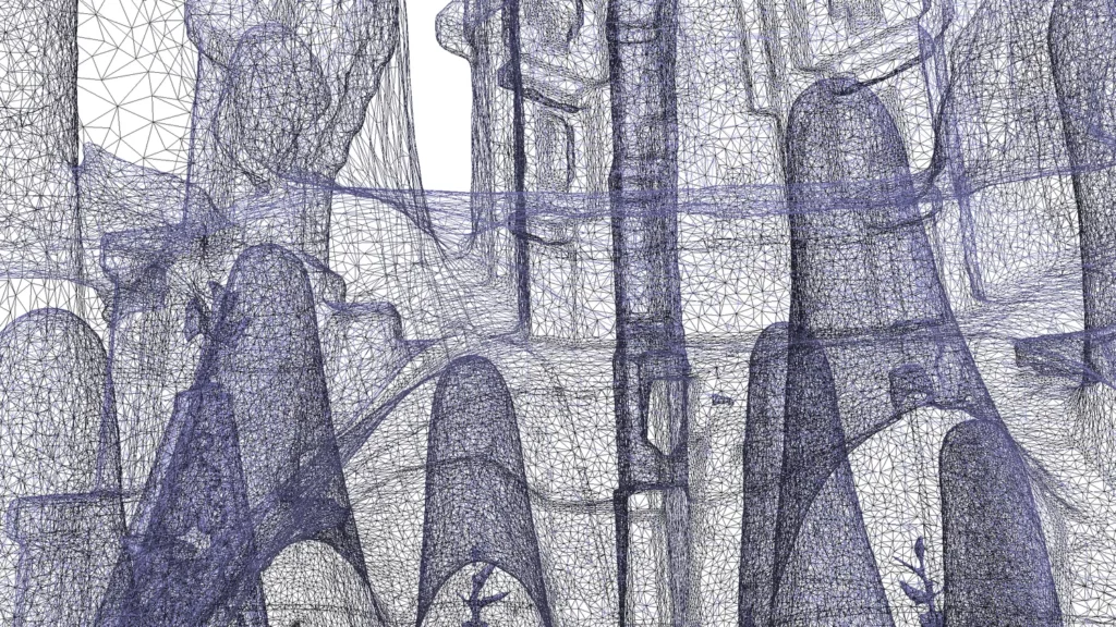
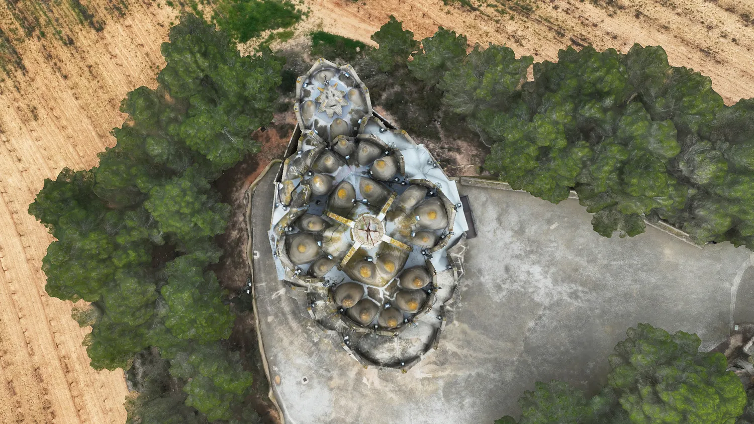
- High-precision aerial and terrestrial photogrammetry
- Textured 3D models, orthomosaics, and cross-sections
- Export to formats compatible with AutoCAD, Revit, and BIM platforms
- Contactless documentation for conservation, study, or planning
Value We Provide
Accurate digitization of buildings and heritage elements, ready to integrate into restoration workflows or technical planning.
Want to see how we digitize heritage in 3D?
Request a sample model and discover how we generate textured models, orthomosaics, and precise cross-sections ready for integration into AutoCAD, Revit, or BIM platforms.