At Beesual Drone, we understand that every cultivated hectare, every planned project, and every protected area requires precise, reliable, and visual data. That’s why we develop technical solutions based on professional drones, multispectral and thermal sensors, and spatial analysis tools. We integrate into standard technical workflows so that our results can be directly applied by those managing land, natural resources, or infrastructure.
Beesual Drone, aerial technology for technical decision-making on land
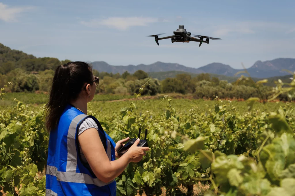
We combine drones, geospatial analysis, and technical expertise to transform images into useful information.
Our mission
To provide clear, visual, and actionable geospatial information that enables well-founded decisions on land management, optimizing resources and reducing uncertainty in agricultural, urban, environmental, or construction projects.
Our vision
To expand access to high-precision geospatial technologies, fully integrated into the technical and operational processes of land management. We are committed to a future where aerial data is a standard part of environmental, urban, and productive planning—without technical barriers or unnecessary intermediaries.