The use of drones in environmental monitoring has transformed how we manage ecosystems. From analyzing forested areas to assessing wetlands, river systems or nature reserves, aerial technology enables the capture of up-to-date, reliable, and large-scale data—ideal for making informed decisions about the territory.
1. What a Drone Brings to Environmental Analysis
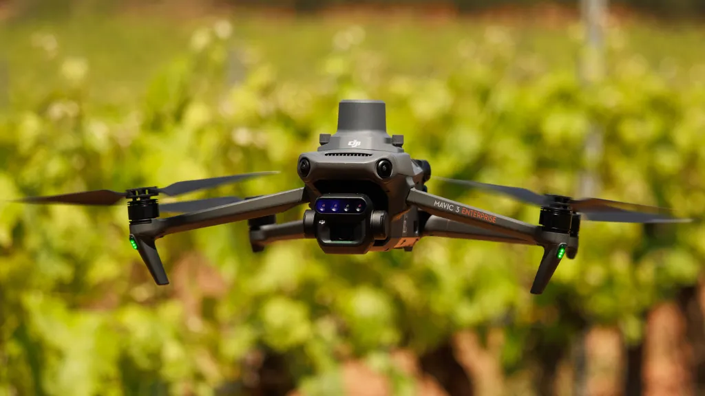
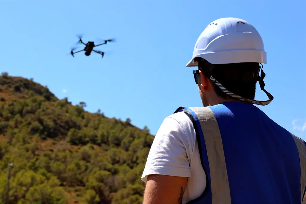
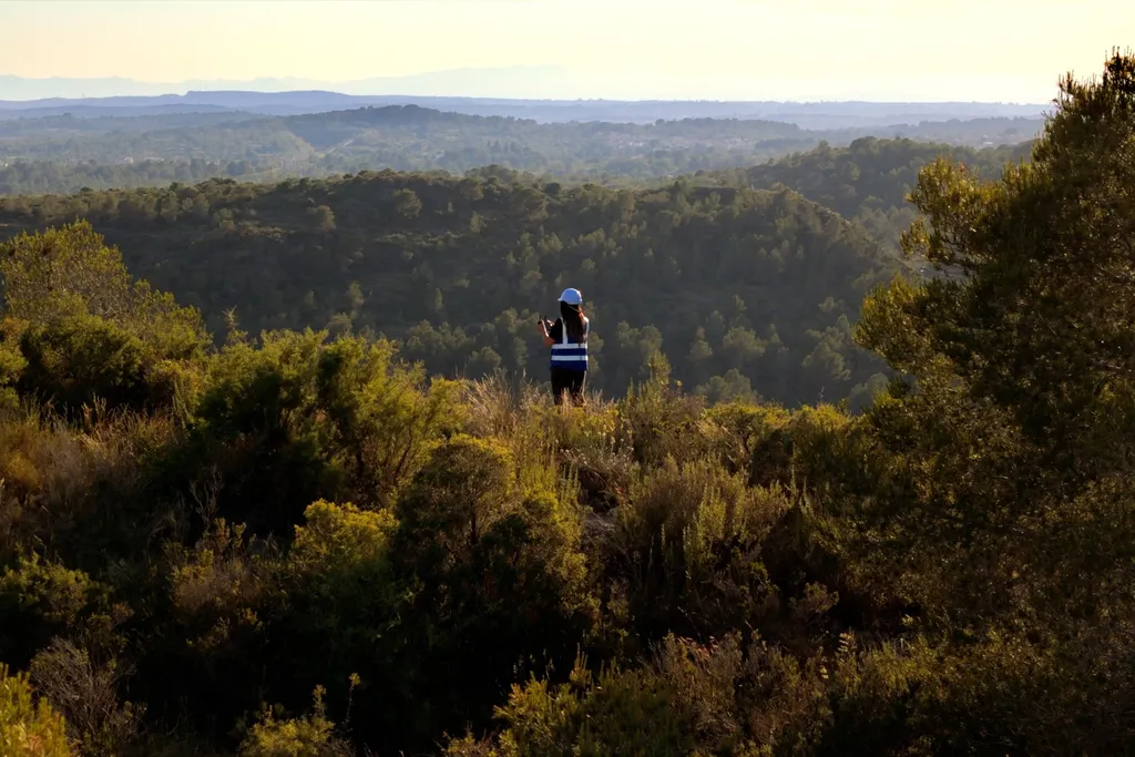
Drones equipped with RGB, multispectral or thermal sensors can conduct low-impact flights and collect accurate visual information in hard-to-reach areas. This is especially useful in mountainous zones, islands, natural parks or areas undergoing ecological restoration. The key advantage: high-resolution images and georeferenced data obtained autonomously.
2. Practical Applications in Land Management
At Beesual Drone, we work with public and private entities interested in: ● Detecting changes in vegetation cover (deforestation, wildfires, pest outbreaks) ● Controlling the spread of invasive species ● Assessing the health of water bodies and riverbanks ● Documenting landscape changes over time ● Monitoring protected areas with no direct human intervention or ecological damage
3. Data Processing for Comparative Analysis
Field data is processed using GIS tools and software specialized in multitemporal analysis. This enables comparisons between seasons or years, and the detection of subtle changes in surface features. Outputs include: ● NDVI maps and thermal indices ● Orthomosaics and digital elevation models (DEM) ● Visuals integrated into environmental reports or digital platforms
4. Added Value for Sustainable and Conservation Projects
This approach is ideal for NGOs, government agencies, agriculture and forestry companies, and stakeholders involved in rural development or ecological planning. The results support optimized resource use, action prioritization, and evidence-based decision-making through clear visual documentation.
Drone-based environmental monitoring not only provides an updated view of ecosystem status. It also empowers smarter, more efficient, and more sustainable decisions based on real data.