Saltar al contenido principalSaltar al pie de página

Drone services for agriculture, environment, and specialized technical applications.

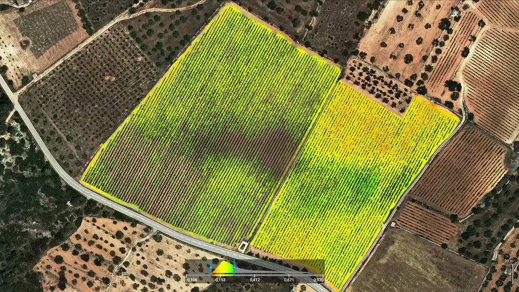
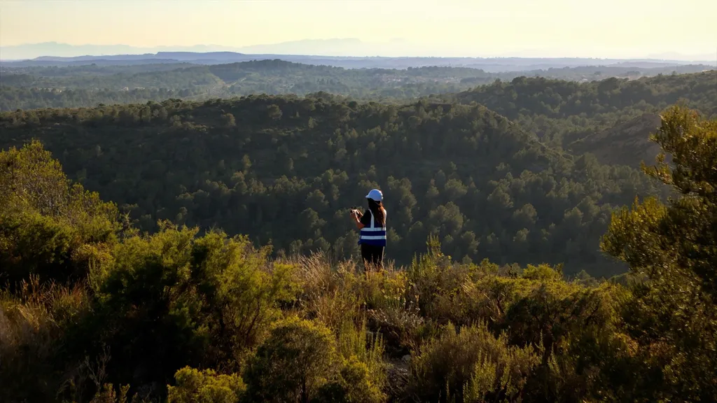
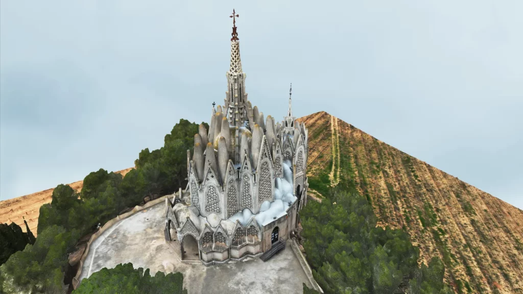
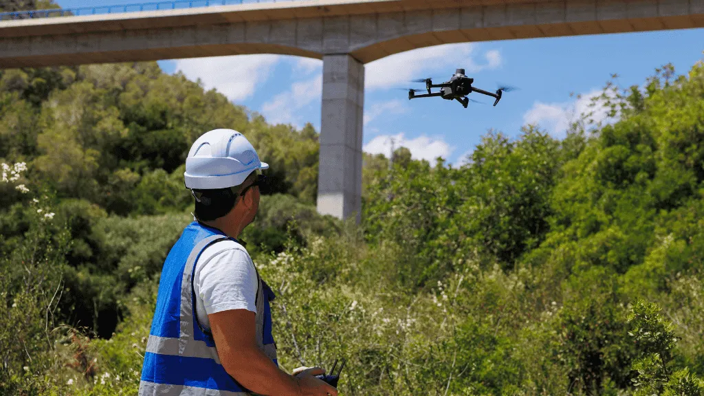
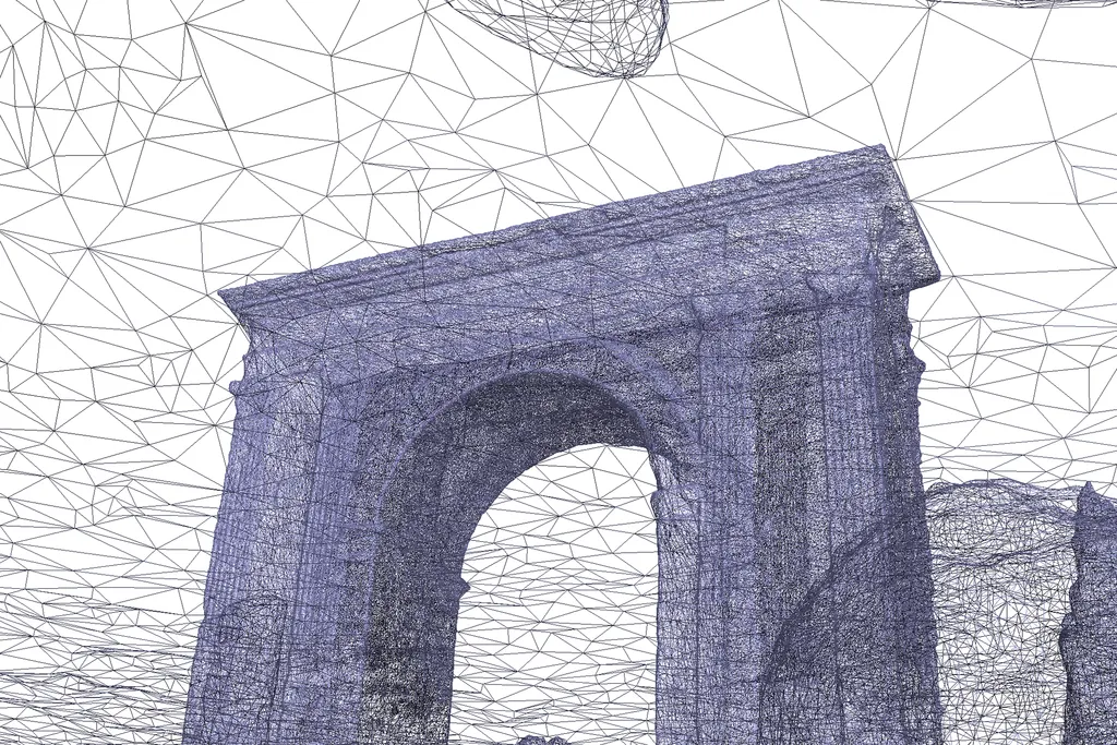
We work with professionals, technicians, and organizations that require precise data to plan, assess, or intervene in the territory. We use RTK drones, multispectral and thermal sensors, and GIS software to generate clear, visual, and directly applicable information.

Contact us if your project requires precision, technical insight, and deliverables that add real value.

Need fast results?

Write to us and we’ll plan your next technical flight.
Get 10% off your first project by mentioning this website.
Fill out this field
Fill out this field
Please enter a valid email address.
Fill out this field
You need to agree with the terms to proceed

Drone technology in your inbox

Real-world applications, analysis, resources, and services. Subscribe to our newsletter

    Accessibility Toolbar