
Target Audience
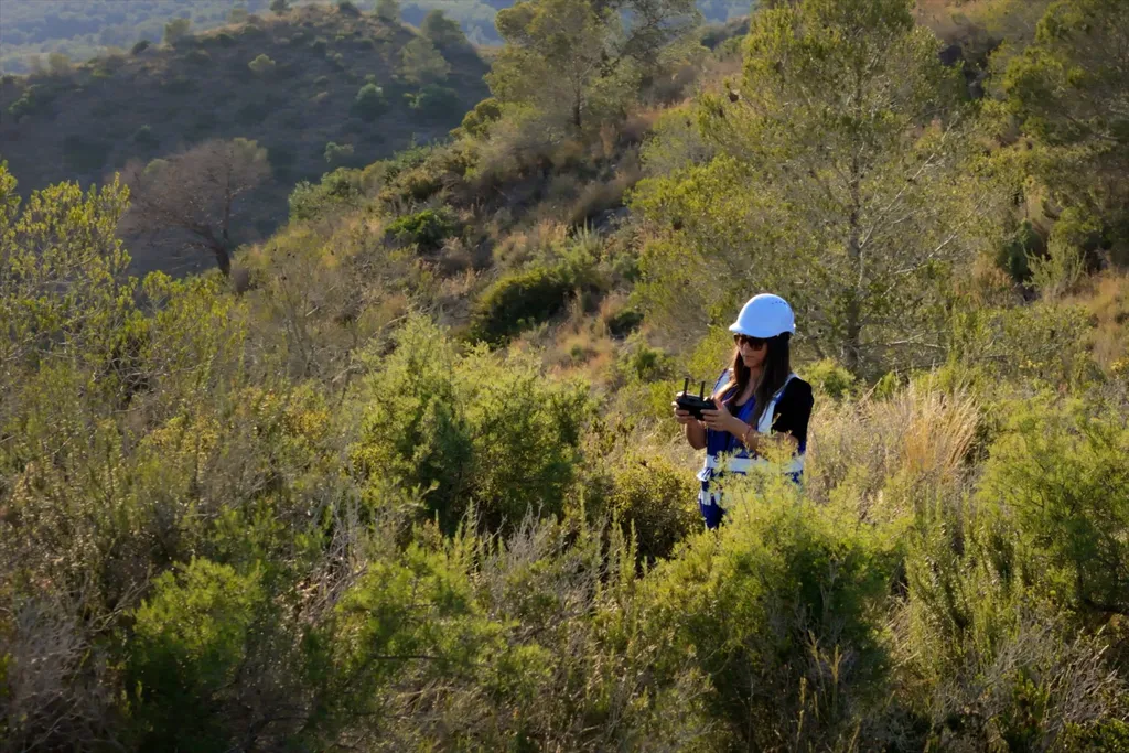
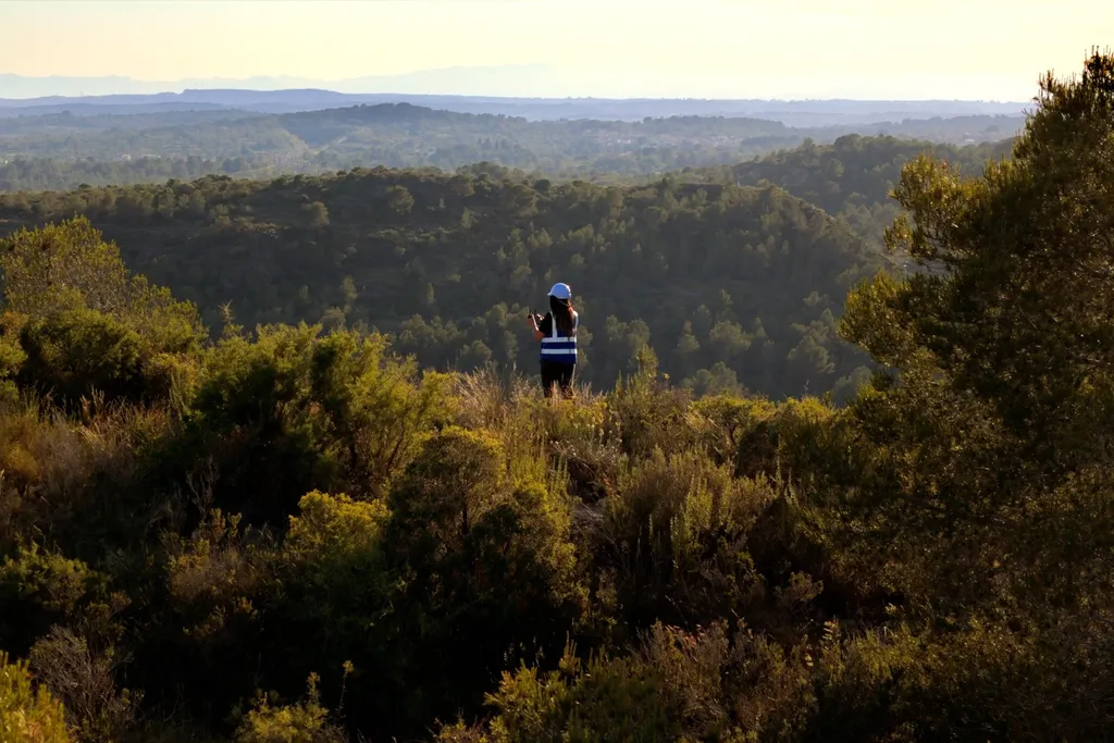
NGOs, environmental technicians, public agencies, and conservation teams.
Specific Applications:
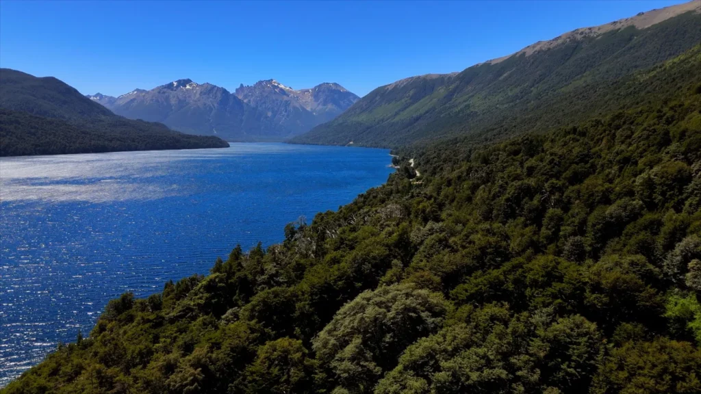
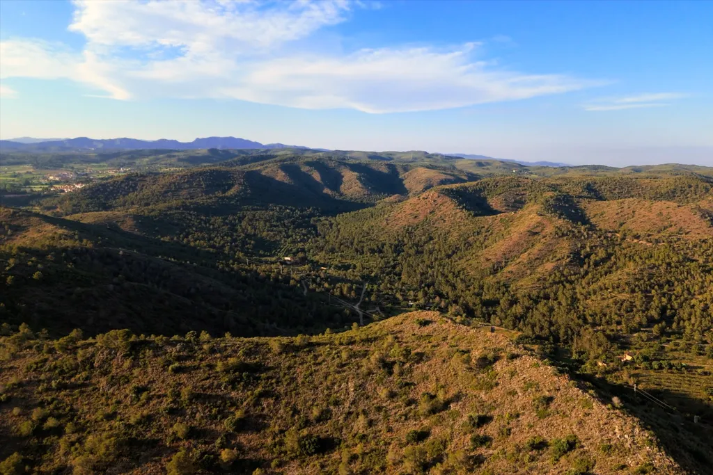
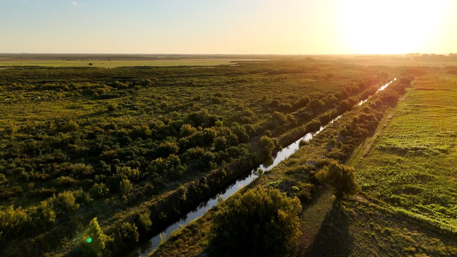
- Multitemporal analysis of vegetation, water bodies, and land use
- Thermal maps for detecting critical hotspots or changes in surface temperature
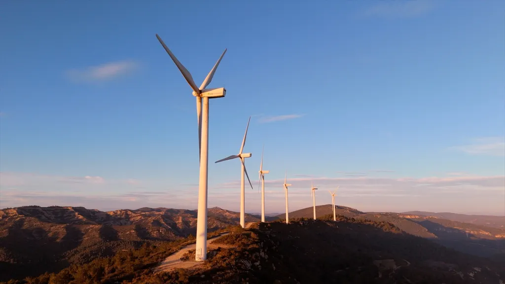
- Monitoring of reforestation, fires, wetlands, and protected areas
- Integration with QGIS for planning and technical communication
Value We Provide
Clear visualization of environmental changes, technical support for reports and management plans, and access to funding opportunities.
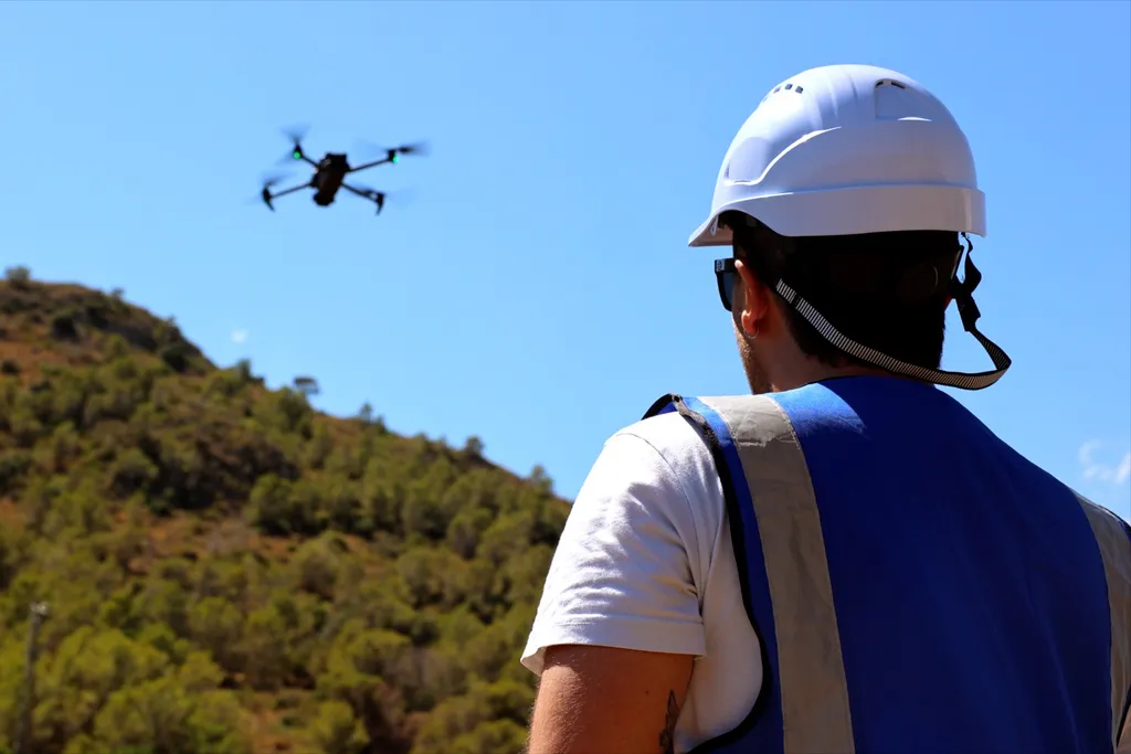
Want to see how we apply our environmental maps in the field?
Request real examples of thermal or multitemporal maps and discover how they help detect critical hotspots, changes in vegetation or water bodies, and enable precise planning.