


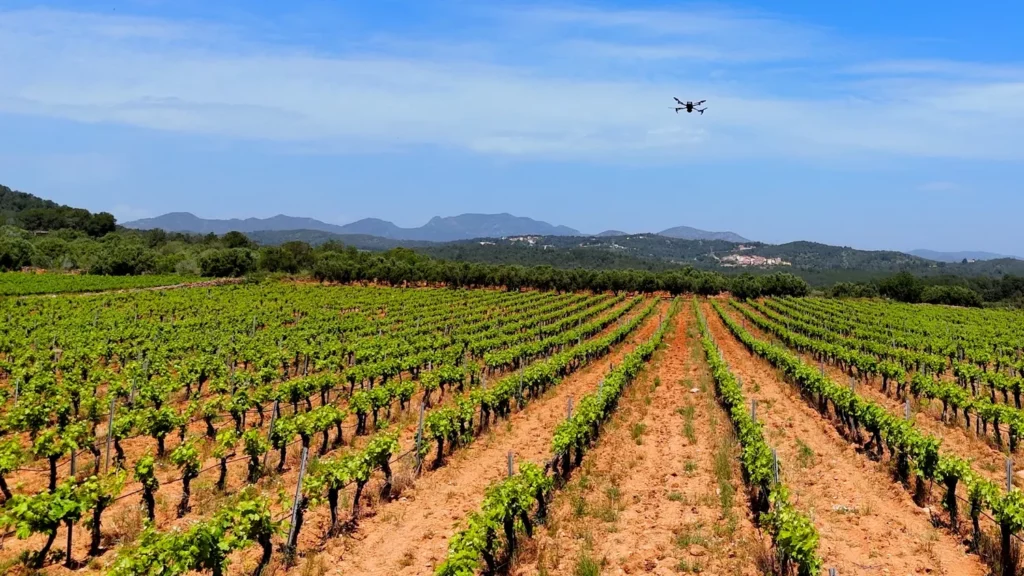
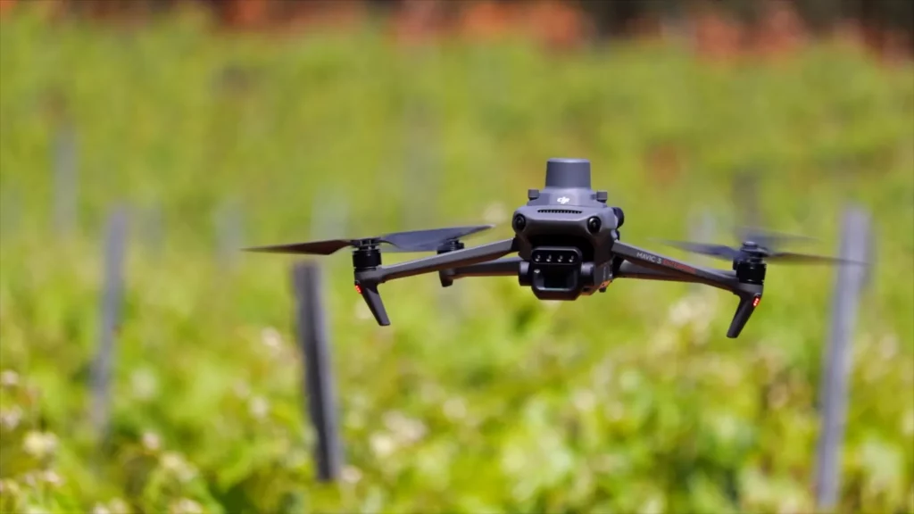
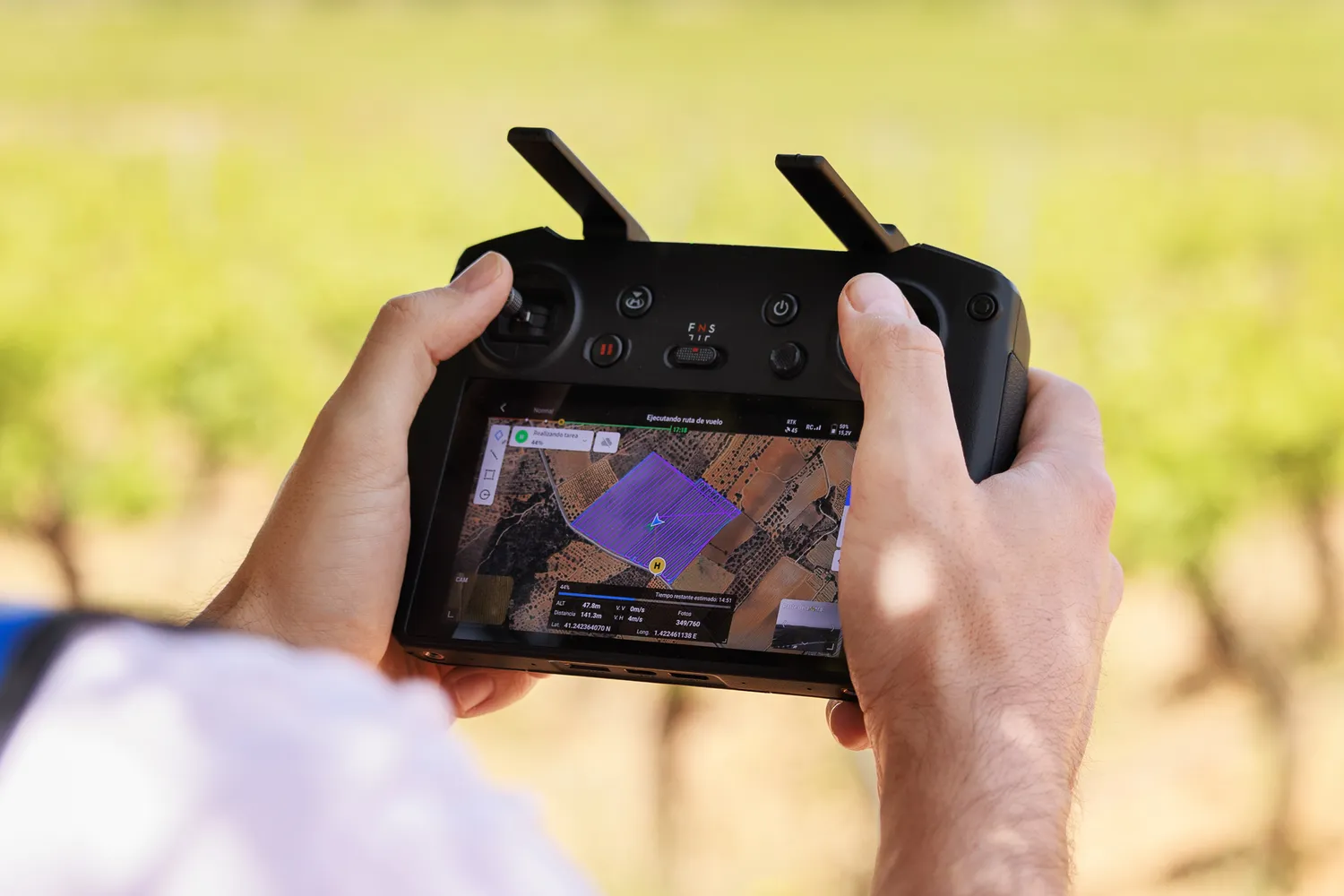
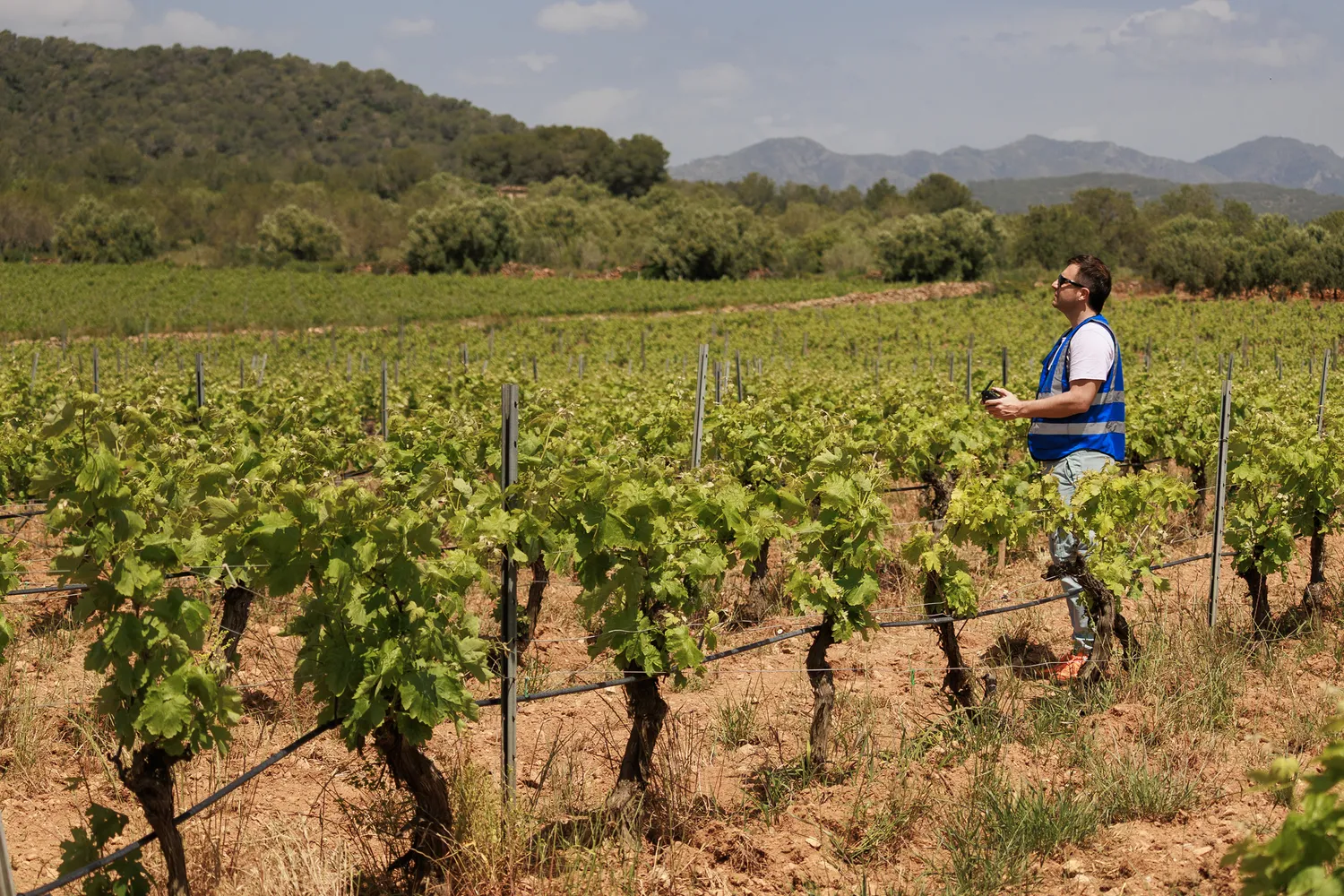
Data-driven precision agriculture
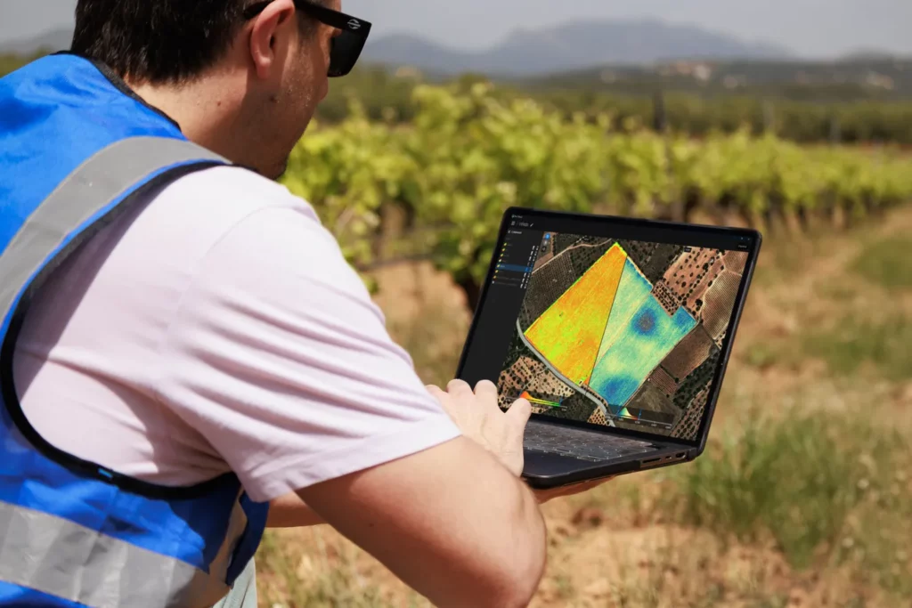
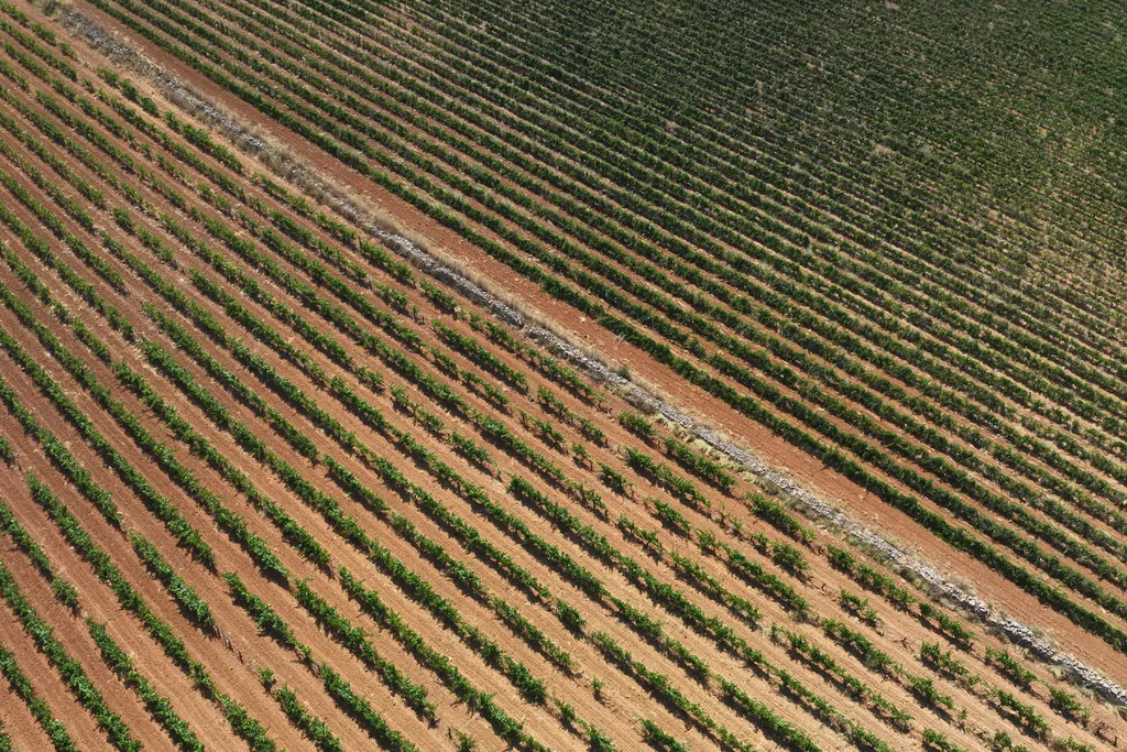
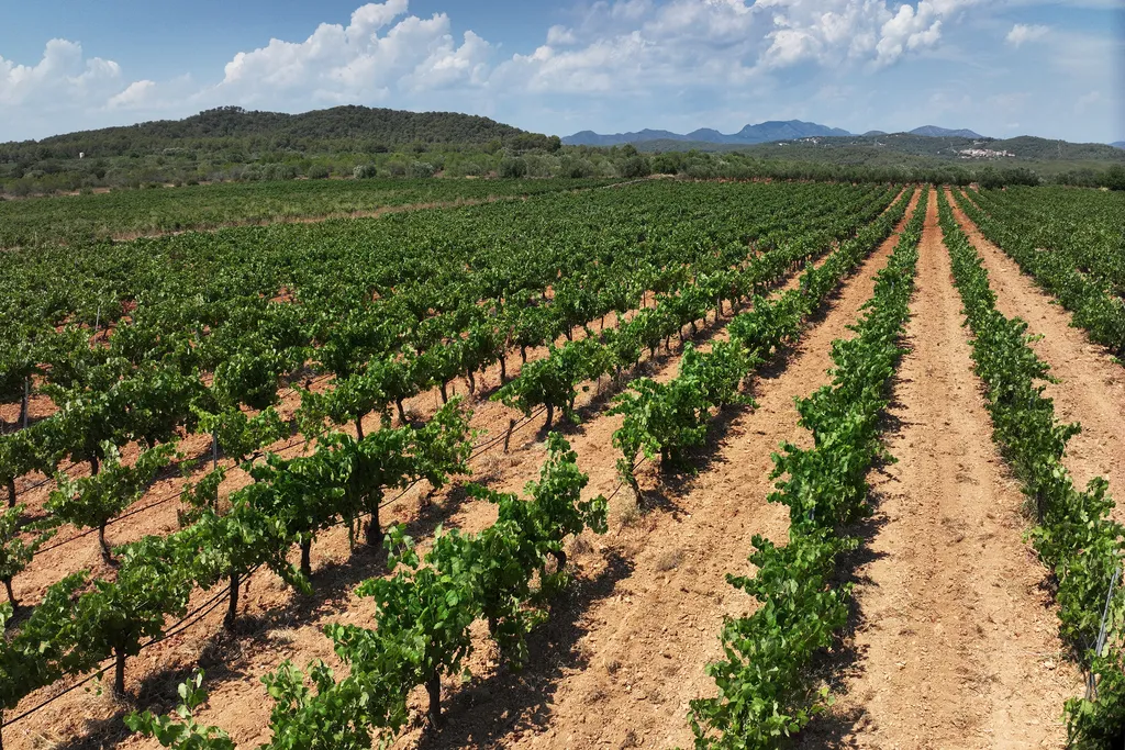
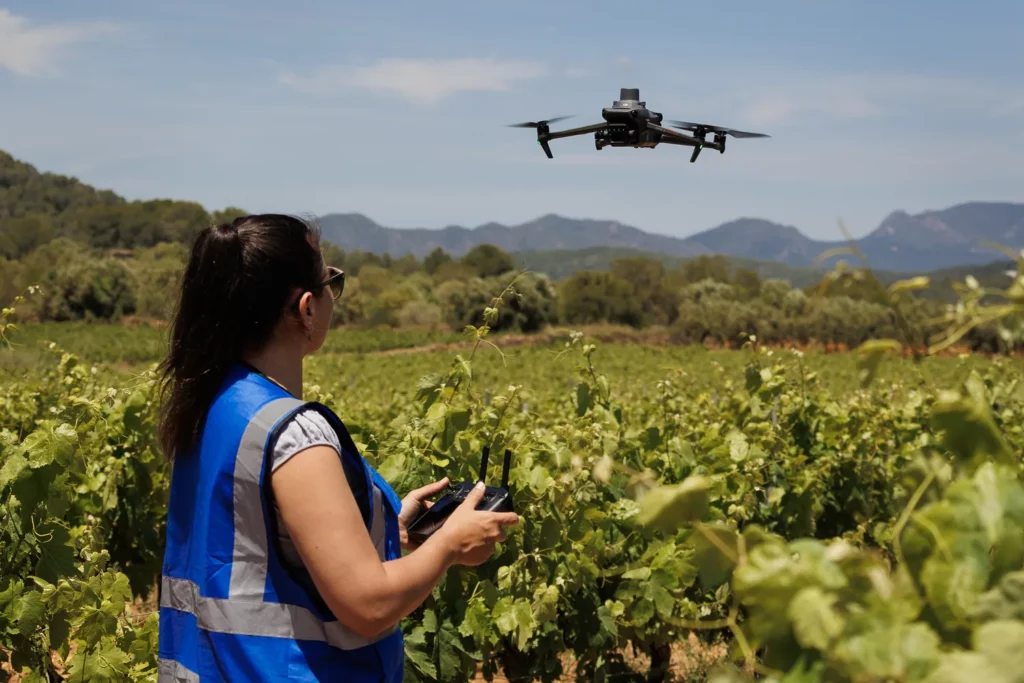
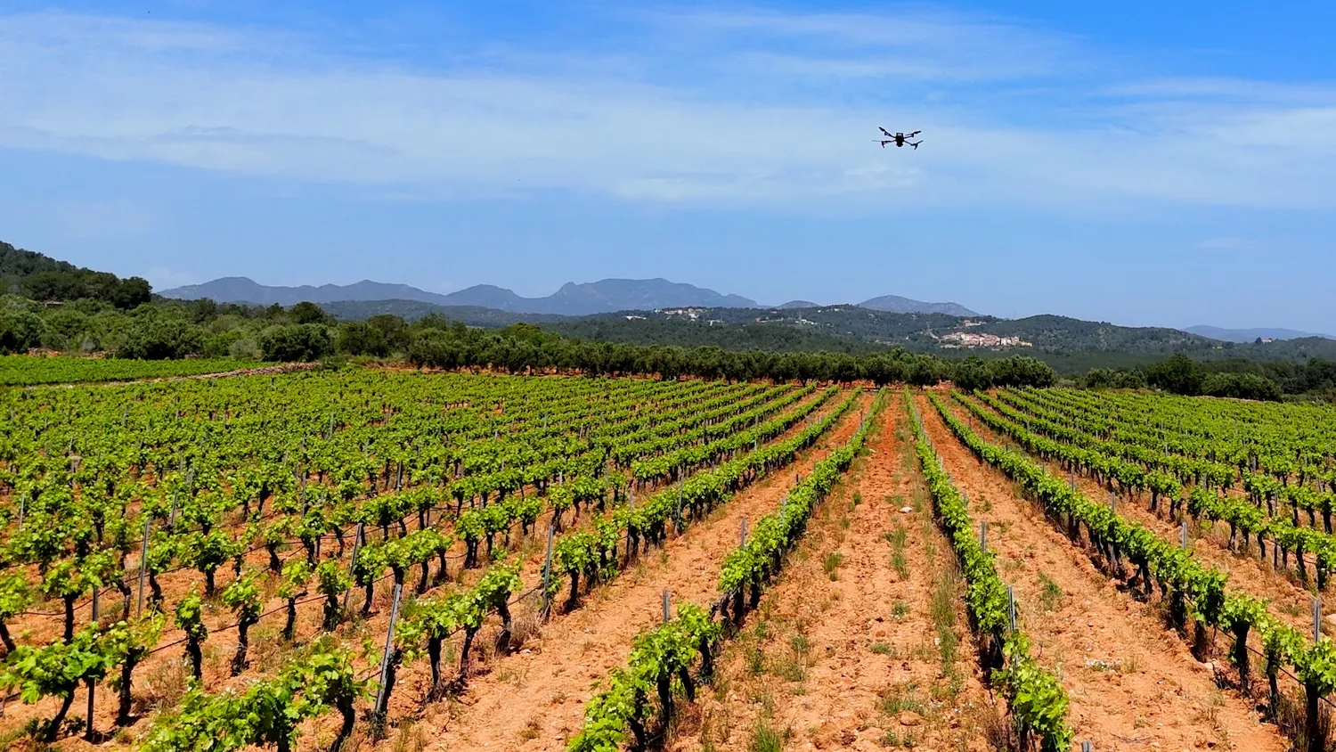
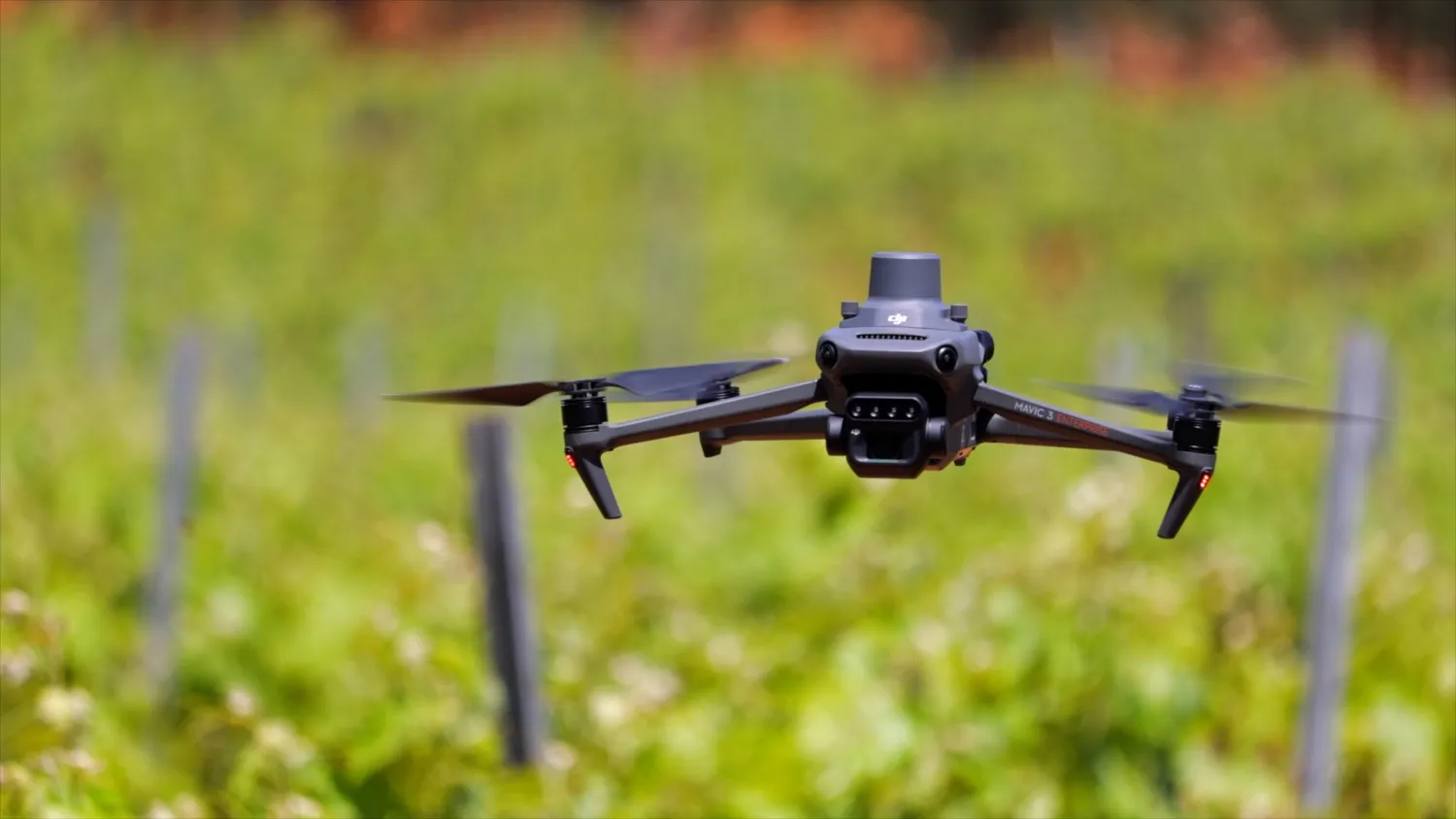
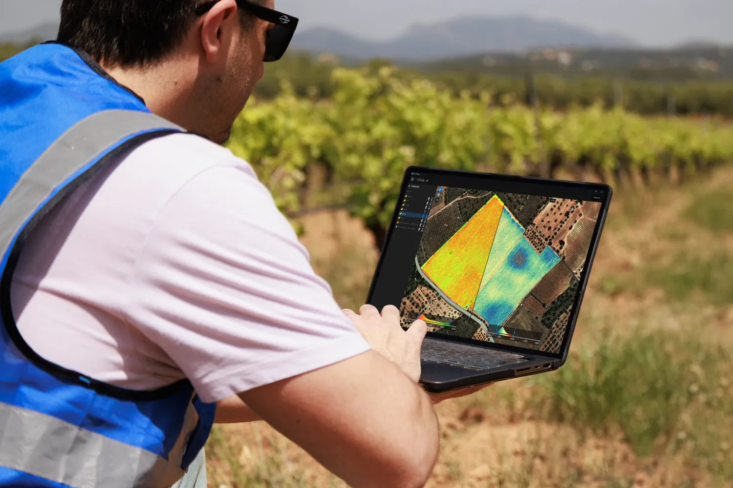
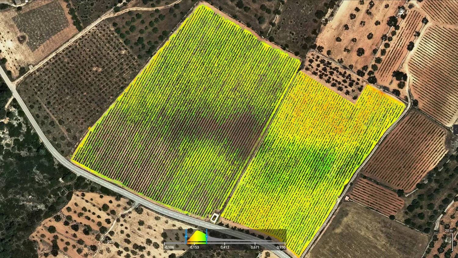
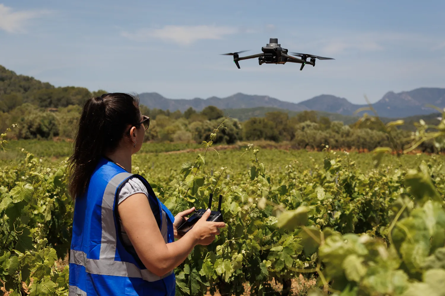
We transform aerial captures into clear maps and indicators to support better agronomic decisions. We identify within-field variability and deliver results ready to integrate into GIS.
What we do
We capture and analyze data to represent crop conditions spatially and make them comparable over time. The goal is not to replace field validation, but to focus technical work on the areas that require attention.
- Vigor and variability maps by field to identify homogeneous areas and priority zones.
- Agronomic zoning to plan targeted sampling and differentiated management.
- Date-to-date comparisons to monitor crop evolution and detect relevant changes.
- Identification of areas showing patterns consistent with water stress or other factors, to be validated in the field.
- Deliverables ready to support agronomic decision-making and GIS workflows.
Target Audience
Vineyard and crop producers, agronomic advisors, and technical teams at cooperatives and wineries.
Value We Provide
- Zone prioritization: focus time and inspections where they are truly needed.
- Field efficiency: targeted sampling and scouting, fewer blind visits.
- Input optimization: support irrigation and fertilization adjustments based on evidence.
- Temporal monitoring: compare dates to assess evolution and the impact of management actions.
- Usable results: deliverables ready for GIS and coordination with advisors or cooperatives.
Would you like to see real examples of deliverables?
Request a real example and see how we use maps and indicators to identify crop variability, prioritize sampling zones, and support management decisions.