Forest, woodland and natural ecosystem degradation is one of the greatest environmental challenges of our time. The loss of vegetation cover not only affects biodiversity, but also the soil’s ability to retain water, reduce erosion and regulate climate. In this context, aerial technology becomes an effective tool to plan and monitor ecological restoration projects with greater accuracy and efficiency.
Why use drones in reforestation projects?
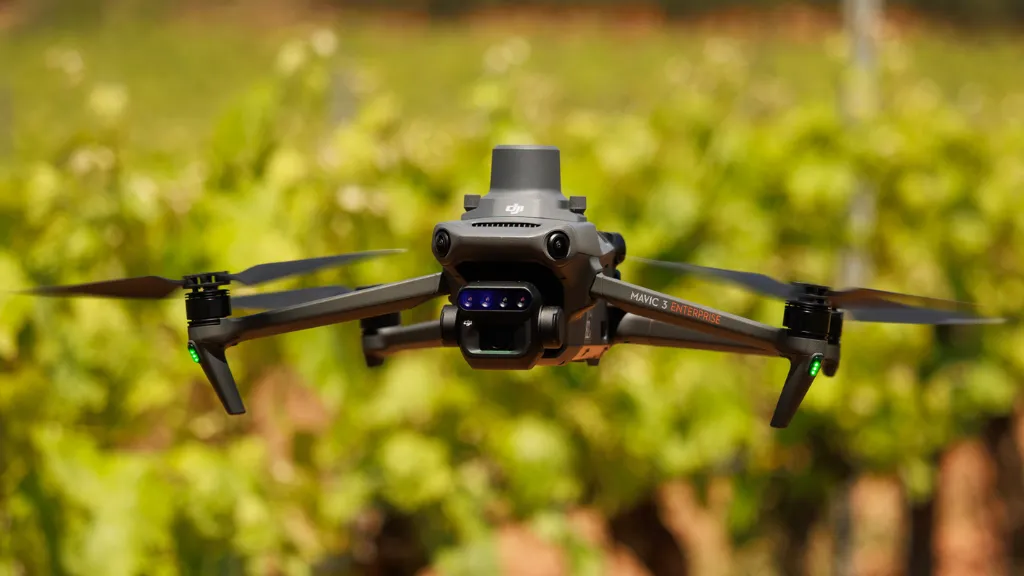
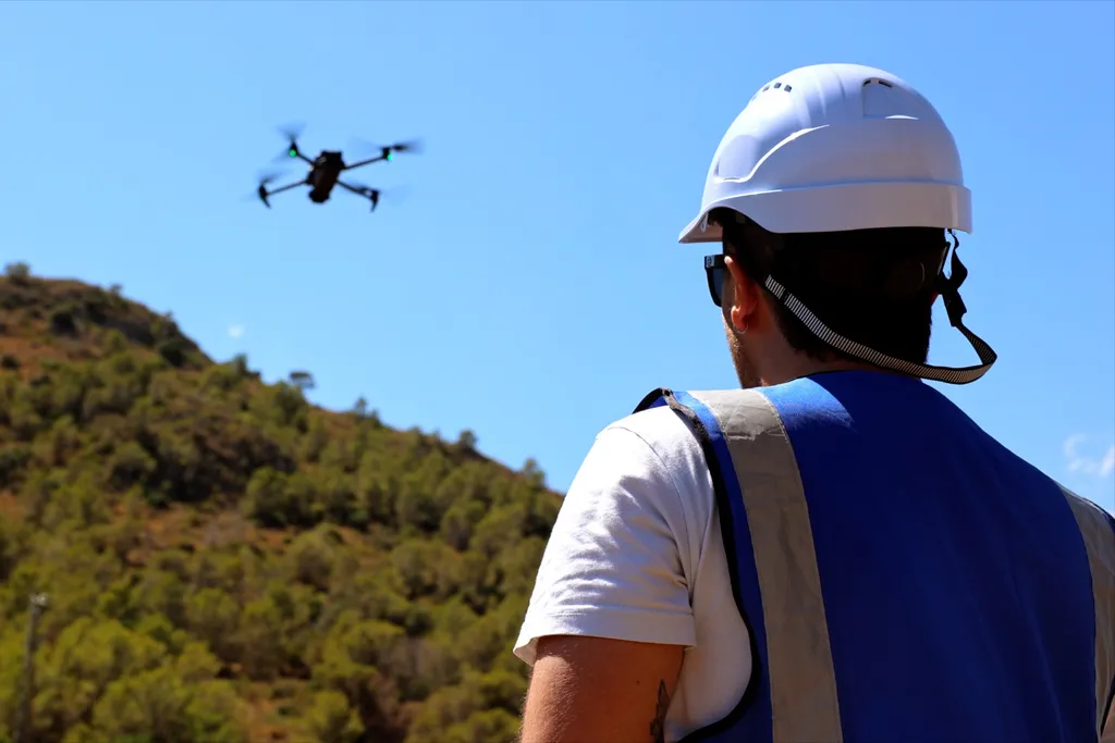
Drones enable fast and precise work in hard-to-reach areas such as slopes, burned zones or protected natural spaces. They support detailed mapping and provide continuous visual tracking of terrain evolution, improving decision-making and allowing actions to be adjusted at each stage of the project. At Beesual Drone, we do not perform seed dispersal: we focus on restoration diagnosis, planning and technical monitoring.
How we work at Beesual Drone
At Beesual Drone, we apply an integrated approach to ecological restoration projects:
-
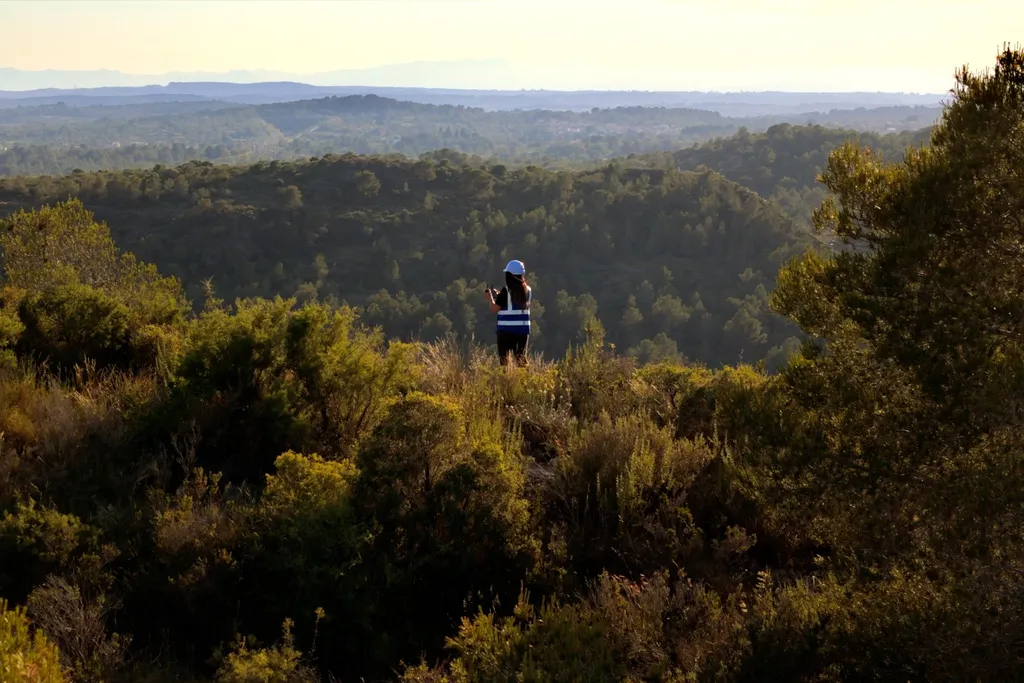
Initial area assessment: baseline mapping and a visual diagnosis of terrain conditions and vegetation cover.
-
3D modelling and terrain models (DTM/DSM) to plan actions adapted to topography (slopes, drainage, access routes and priority areas).
-
Delineation and zoning of intervention areas: defining work units and generating GIS layers to support field teams and responsible entities.
-
Multitemporal monitoring with georeferenced imagery to measure change over time and generate visual indicators of project progress.
Use cases
Our services are especially suited for:
-
Areas affected by wildfires or drought.
-
Natural spaces undergoing ecological restoration.
-
Environmental offset and biodiversity regeneration projects (data-driven technical support).
We also collaborate with public administrations, NGOs and private organizations interested in driving positive environmental impact through applied technology.