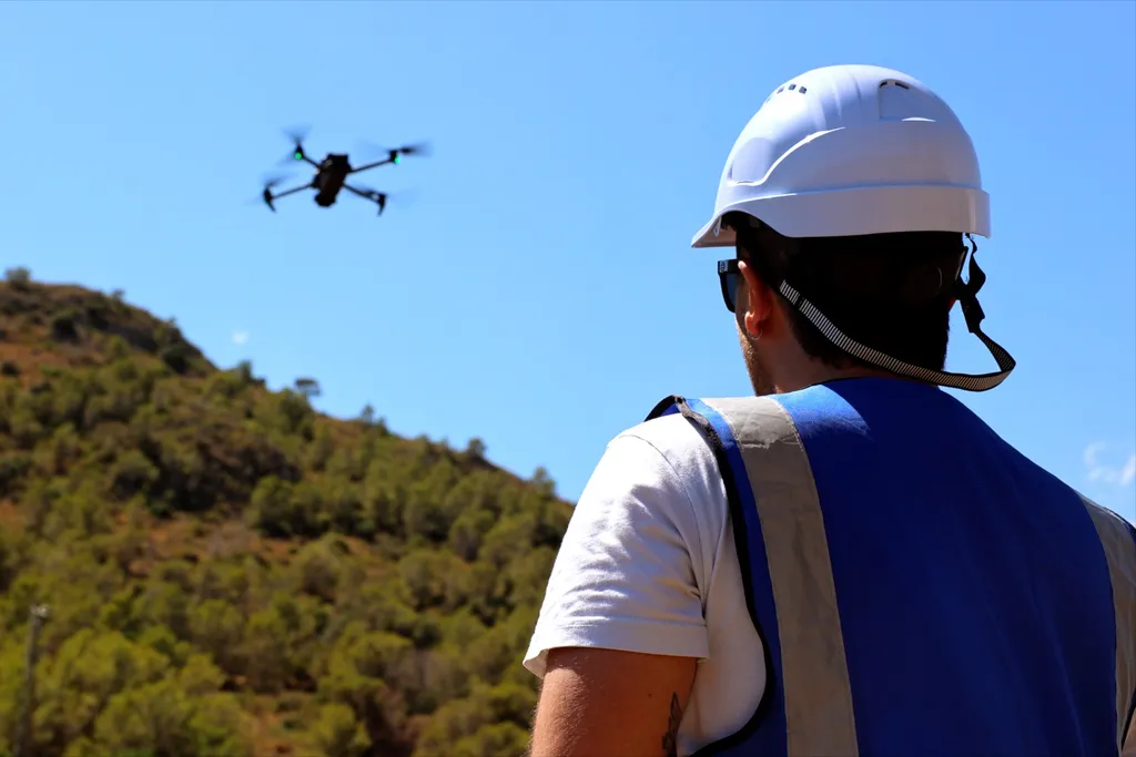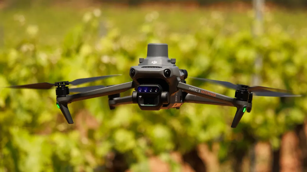
In modern viticulture, understanding vineyard variability is key to making precise and profitable decisions. Using drones with multispectral sensors allows us to detect what is not visible to the naked eye: plant stress, differences in vigor, or areas with specific water or nutrient needs. At Beesual Drone, we apply this technology to help winegrowers optimize the management of each plot.
1. Why use drones in vineyards?
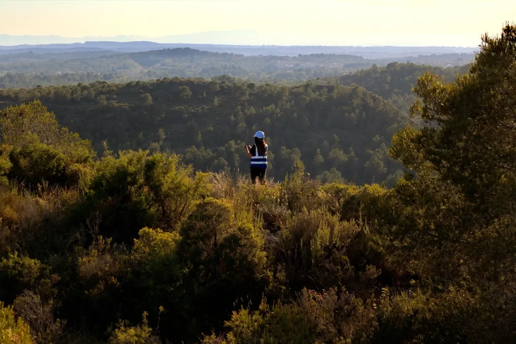
Unlike traditional field observations, aerial monitoring provides a global and objective view of the crop’s condition. It allows early detection of problems before they become visible, delineates variable management zones, and enables the comparison of campaigns over time.
This translates into:
- Reduced input use by applying only where needed
- Improved vineyard uniformity and fruit quality
- Time savings and better technical planning
2. What do we deliver at Beesual Drone?
With drones equipped with multispectral sensors and precision flights (RTK or PPK), we capture imagery processed with Pix4Dfields. From this analysis, we deliver:
- NDVI, NDRE, and other vegetation index maps
- Vigor or canopy development zonings
- Multitemporal comparisons between dates or growing seasons
- Visual outputs that support agronomic decision-making
3. Clear information, effective decisions
Our deliverables are adapted to each client:
- Interpretable maps in PDF, JPG, or formats compatible with agricultural software
- Visual documentation ready to share with consultants or technical teams
- Support to interpret the results and turn them into actionable steps
4. Common use cases
- Pre-harvest zoning to segment harvests by quality
- Monitoring of water stress, especially during heat waves
- Detection of damage from pests, diseases, or frost
- Evaluation of treatments or technical trials
Multispectral technology is accessible to any vineyard aiming to improve performance and sustainability. At Beesual Drone, we offer a fast and professional service, focused on generating useful insights that lead to technical decisions with real field impact.
Would you like to know the actual condition of your vineyard?